
What is recorded here
In reclaimed pasture on steep NW facing slope of Derk Hill. Possible ringfort (LI033-034----) 75m to SE; possible burial mound (LI033-033002-) 15m to S. Not depicted on OSi maps. Surveyed by the ASI in 2007 and described as no surface remains visible. Monument visible on OSi orthophotos 2005-2012 as a circular-shaped area (diam. 34m) enclosed by a low bank with traces of linear features to E, S and NW which may be the remains of a field system. Described in 1960 as, ‘a platform 72 feet (22m) in diameter; has a raised edge and a depressed centre. On west side, which is steep, it is 9 feet (2.7m) over field level. There is a wide shallow ditch outside the platform except on the east side where it is not now visible’ (O’Dwyer 1960, 113; Knockderk 50). The monument is visible only as a cropmark on Google Earth orthoimage dated 25/03/2017. Not visible today on Google Earth orthoimage taken 28/06/2018.
See attached Google Earth orthoimages
Compiled by: Martin Fitzpatrick
Date of upload: 22 March 2021
A local fairy fort (ringfort/rath); wider significance not recorded.
The monument record does not grant public access. Check the route and ask the landowner before entering private land.
- What survives
- Recorded monument
Places near here
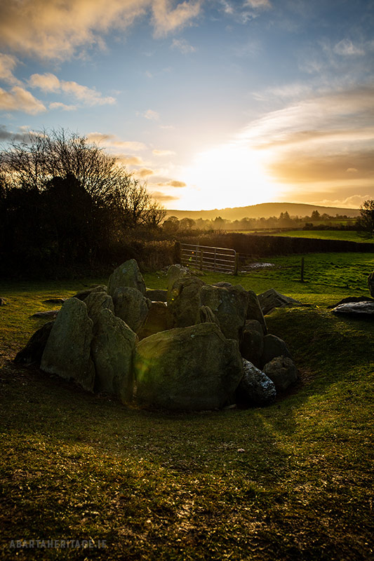 Enclosure in Knockroe (coonagh By.)Enclosure · 756 yd
 BarrowBarrow, embanked barrow · 934 yd
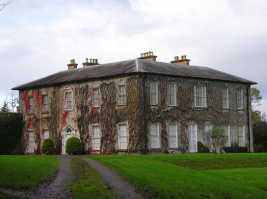 Derkcountry house · 1446 yd
 (Site of) CastleCastle, unclassified · 1.0 mi
 Pallas MoatCastle, motte · 1.1 mi
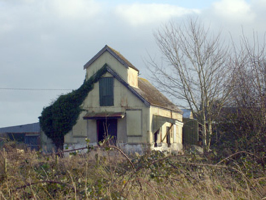 Race Creamerycreamery · 1.1 mi
 St. Patrick's WellSpring · 1.7 mi
 Kilteely HillMountain / peak · 1.9 mi
 KnockseefinMountain / peak · 2.2 mi
 Flat cemetery in Knockainy WestFlat cemetery · 5.6 mi
 St Patrick's WellSpring · 7.1 mi
 Ballinvreena LoopVisitor information · 10 mi
Other information
Photo: Credit not shown in the picture search · Rights wording not checked; contact us if this picture should be removed