
What is recorded here
On SE-facing slope, in pasture. A barrow (LI024-197----) lies 150m to SW and two barrows (LI024-219-/-220----) lie 170m to SE. Surveyed by the ASI in 2008 and described as a circular-shaped area (19m N-S x 17m E-W) defined by the intermittent remains of a bank (Wth 3.4m; int. H 0.35m; ext. H 0.55m) visible from NW-NNW-N, from ENE-E-S-SSW and at WSW, elsewhere reduced to a scarp. Monument is visible as a circular-shaped partially scrub covered earthwork on ASI aerial photograph (ASIAP 310, 37) taken 13/09/2002. Outline of degraded monument visible on Google Earth orthoimages taken 28/06/2018.
See attached sketch plan and cross-sections surveyed and drawn by the ASI.
See attached Google Earth orthoimages
Compiled by: Alison McQueen and Vera Rahilly
Date of upload: 19 July 2020
A Neolithic embanked barrow; part of a cluster of barrows in the area, indicating a significant ritual or burial landscape from the early farming communities in Ireland.
The monument record does not grant public access. Check the route and ask the landowner before entering private land.
- What survives
- Recorded monument
Places near here
 Field system in CloghaderreenField system · 343 yd
 Enclosure in KnockderkEnclosure · 933 yd
 (Site of) CastleCastle, unclassified · 1005 yd
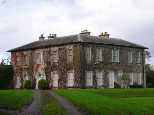 Derkcountry house · 1010 yd
 Pallas MoatCastle, motte · 1083 yd
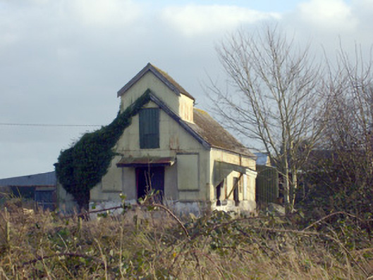 Race Creamerycreamery · 1096 yd
 KnockseefinMountain / peak · 1.9 mi
 St. Patrick's WellSpring · 2.1 mi
 ToberagaddySpring · 2.2 mi
 Kilteely HillMountain / peak · 2.4 mi
 Flat cemetery in Knockainy WestFlat cemetery · 6.2 mi
 Ballinvreena LoopVisitor information · 11 mi
Other information
Photo: Credit not shown in the picture search · Rights wording not checked; contact us if this picture should be removed