
What is recorded here
In reclaimed grassland with ditch-barrow (LI033-181---) to E. Cropmark of ditch-barrow visible on Google Earth orthophoto taken 18/11/2018.
See attached Google Earth orthoimage taken 18/11/2018
Compiled by: Caimin O’Brien
Date of upload: 3 December 2021
Ditch barrow, likely dating to the Early Bronze Age. Its presence indicates a funerary or ritual landscape feature, common in Ireland during the Bronze Age for burial and commemorative purposes.
The monument record does not grant public access. Check the route and ask the landowner before entering private land.
- What survives
- Recorded monument
Places near here
 BarrowBarrow, ditch barrow · 332 yd
 Enclosure in LodgeEnclosure · 1062 yd
 CastleCastle, motte · 1.1 mi
 CashlanCastle, unclassified · 1.1 mi
 Ahnageeragh Bridgebridge · 1.3 mi
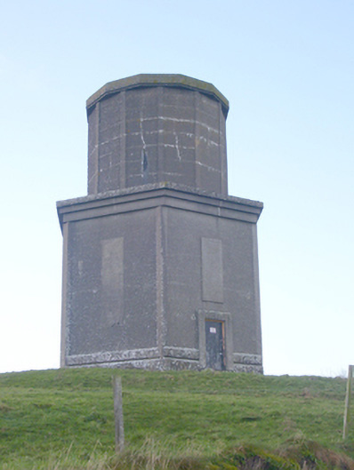 water towerwater tower · 1.5 mi
 Kilteely HillMountain / peak · 2.4 mi
 Flat cemetery in Knockainy WestFlat cemetery · 2.7 mi
 St. Patrick's WellSpring · 2.8 mi
 St Patrick's WellSpring · 3.9 mi
 Ballinvreena LoopVisitor information · 6.8 mi
 SlievereaghMountain / peak · 7.4 mi
Other information
Photo: Credit not shown in the picture search · Rights wording not checked; contact us if this picture should be removed