What is recorded here
National Monument No. 606. Described in 1979 as following: ‘The low earth and stone mound is of circular plan with a slightly conical point. Its sides have been gravelled and disturbed showing its stoney core. On the E and NE there are very slight traces of a shallow fosse with even fainter indications of a bank outside. This ‘bank’ is not present in the S and W where however there are very clear traces of old cultivation ridges. An old earth and stone field bank separates this side on the W from Site 5 (WM011-130---)’ (SMR File 18/04/1979). A seonc field report from the same year describes the monument as ‘a small low bowl barrow, now quite denuded by cattle. There is a very shallow fosse at the foot of the barrow on west, north and east with a very low outer bank of earth on northeast & west. A field fence runs close to the perimeter of the barrow on the north & NNE sides. The barrow is on top of a rise on the NW shoulder of the hill’ (SMR File 02/05/1979).
Monument surveyed in 2012 and described by McGuinness (2012, 34) as following: ‘Roughly circular mound (diam. 9m N-S x 9.4m E-W) with shapely rounded profile, surrounded by shallow ditch, situated on flattish, gently N-sloping summit of spur of Frewin Hill. Where best preserved in NE quadrant, ditch is up to 3.2m in width with a depth of 0.1m below external ground level; mound rises up to 1.34m above ditch on this side. If ditch were well-preserved all round, overall diameter of monument would be somewhere in the vicinity of 15m. Ring-barrow (WM011-130----) lies on sloping ground 27m to WSW, on opposite side of a recently constructed double-fence, over 4m in width, with trees planted in the middle. Running approximately in a semicircle from NE side of ring-barrow around the present monument is an earthwork comprising a scarp, ditch and outer bank. Large cairn or tumulus (WM011-133----) on summit of Frewin Hill is prominent to E, and ring-barrows at Balrath (WM011-103----; WM011-104----) would be visible to N but for trees’.
Compiled by: Caimin O'Brien based on details provided by David McGuinness.
Date of upload: 25 January 2016
Bowl barrow, likely dating to the Early Bronze Age. Its significance lies in representing a common funerary monument type in the British Isles, reflecting early burial practices and social structures.
The monument record does not grant public access. Check the route and ask the landowner before entering private land.
- What survives
- Recorded monument
Places near here
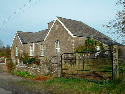 Balrath National Schoolschool · 452 yd
 Partially hachuredFairy fort / earthen ringfort · 598 yd
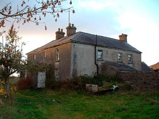 Johnstown Househouse · 1406 yd
 IndicatedBawn · 1526 yd
 Lack LomanArchaeological place · 1544 yd
 Nugent's CastleCastle · 1.3 mi
 Carrickphilbin IslandIslet · 1.4 mi
 Srudarra IslandIslet · 2.1 mi
 Baronstown ForestWood · 3.6 mi
 Horse-chestnutHorse-chestnut · 3.8 mi
 Bridge Memorial (Kenna)Memorial · 4.0 mi
 Abbeyshrule AbbeyRuins · 9.2 mi