What is recorded here
Situated in a relatively low-lying position with ground rising gradually to the NW and S. A poorly preserved mound of gravel and clay which has been greatly altered by quarrying. It survives to a height of c. 2m and has a maximum diameter of c. 26m. The centre of the site has been completely quarried out, with an entrance cut through the mound to N and one to S. All that remains is the outer edge at the E and W, however, this could be augmented by spoil material which has been pushed outwards.
The above description is derived from 'The Archaeological Inventory of County Tipperary. Vol. 1 - North Tipperary' compiled by Jean Farrelly and Caimin O'Brien (Dublin: Stationery Office, 2002). In certain instances the entries have been revised and updated in the light of recent research.
Date of upload/revision: 22 September 2008
A bowl barrow dating to the Early Bronze Age; its significance is limited due to poor preservation and lack of specific archaeological context.
The monument record does not grant public access. Check the route and ask the landowner before entering private land.
- What survives
- Recorded monument
Places near here
 Knigh Church (in Ruins)Church · 441 yd
 Knigh Castle (in ruins)Castle, tower house · 527 yd
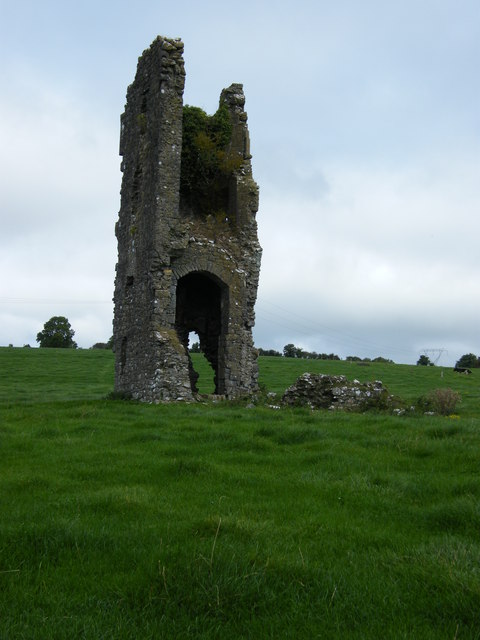 Knigh CastleCastle · 531 yd
 Hillfort in KnighHillfort · 1041 yd
 Enclosure in LoughournaEnclosure · 1353 yd
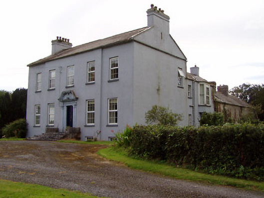 Lisduffhouse · 1709 yd
 Knigh HillMountain / peak · 1.0 mi
 Old BarracksHeritage attraction · 3.1 mi
 James Devaney MemorialMemorial · 3.1 mi
 Nenagh Heritage CentreMuseum · 3.1 mi
 Goose IslandIslet · 3.2 mi
 Dromineer BayBay · 3.7 mi