What is recorded here
In pasture, c. 20m W of the Owenmore River. A flat-topped conical mound of earth and stone (diam. 10.5m at base; H 6.3m). A ring-barrow (SL026-124----) lies c. 100m to WSW.
The above description is derived from the published 'Archaeological Inventory of County Sligo' compiled by Ursula Egan, Elizabeth Byrne, Mary Sleeman with Sheila Ronan and Connie Murphy (Dublin Stationery Office, 2005).
Date of upload: 18 January 2008
Bowl barrow, likely dating to the Early Bronze Age (c. 2500–1500 BCE). This type of burial monument is significant as it reflects early funerary practices and social structures in prehistoric Ireland.
The monument record does not grant public access. Check the route and ask the landowner before entering private land.
- What survives
- Recorded monument
Places near here
 Bleach MillMill, bleaching · 745 yd
 Indicated (1838).Fairy fort / earthen ringfort · 909 yd
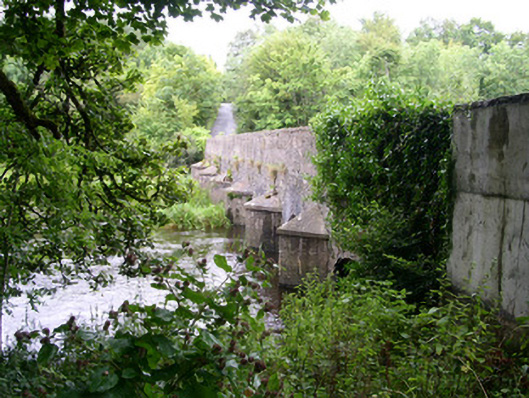 Ardcree Bridgebridge · 1105 yd
 Enclosure in Annaghmore (tirerrill By.)Enclosure · 1379 yd
 Moymlough Castle (in Ruins)Castle, tower house · 2.2 mi
 Castle (Site of)Castle, unclassified · 2.2 mi
 European ashEuropean ash · 2.6 mi
 ElderElder · 2.6 mi
 Tullaghan HillMountain / peak · 3.3 mi
 CroaghaunMountain / peak · 3.7 mi
 James MorrisonMemorial · 4.0 mi
 Riverstown Folk ParkHeritage attraction · 6.0 mi