What is recorded here
Excavation in County Cork, Ireland, was a narrow pit cut through soil near the N22 Ballincollig Bypass. It held charcoal-stained clay and twenty-two broken pottery shards from the medieval period. The excavator believed it may have been a refuse pit, a place where ordinary life discarded what it no longer needed.
Following archaeological testing and monitoring on the N22 Ballincollig Bypass, a linear pit (1.15m NE-SW x 0.33m; D 0.14) was excavated in 2002. It was found to contain a single charcoal-stained deposit of a loose silty clay which yielded 22 sherds of medieval pottery. The excavator (Danaher 2005, 10) suggested that it may have been a refuse pit. (Danaher 2004a, 59; 2005a, 10)
The above description is derived from 'The Archaeological Inventory of County Cork. Volume 5' (Dublin: Stationery Office, 2009).
Date of upload: 22 December 2009
The monument record does not grant public access. Check the route and ask the landowner before entering private land.
- What survives
- Recorded monument
Places near here
 Pit-burial in BarnagorePit-burial · 124 yd
 Enclosure in BarnagoreEnclosure · 312 yd
 IndicatedKiln, lime · 647 yd
 Graveyard in Carrigane (muskerry East By.)Graveyard · 1010 yd
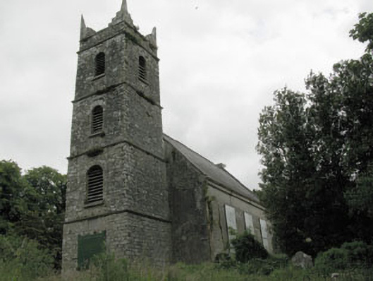 St Mary's Church of Ireland Churchchurch/chapel · 1034 yd
 Grange HillMountain / peak · 1718 yd
 Hugh MaguireMemorial · 1.1 mi
 Ballincollig CastleCastle · 1.6 mi
 Ballincollig Castle (in Ruins)Castle, tower house · 1.6 mi
 Cave in Ballincollig (muskerry East By., Carrigrohane Par.)Cave · 1.6 mi
 Iniscarra Dam ViewViewpoint · 1.7 mi
 Stone BeachBeach / strand · 2.9 mi