
What is recorded here
The cropmark of a small univallate circular enclosure is visible in an aerial photograph (AP: Dr D.D.C. Pochin Mould) taken in July 1989. A phase of the EMC factory was unknowingly constructed on this possible enclosure in the 1990s (Lane 2000b, 2). Two other enclosures (CO073-095001-, CO073-095002-) c. 90m to the SE were also built upon.
The above description is derived from 'The Archaeological Inventory of County Cork. Volume 5' (Dublin: Stationery Office, 2009).
Date of upload: 22 December 2009
A local fairy fort (ringfort/rath); wider significance not recorded.
The monument record does not grant public access. Check the route and ask the landowner before entering private land.
- What survives
- Recorded monument
Places near here
 Pit-burial in BarnagorePit-burial · 387 yd
 Hearth in LisheensHearth · 669 yd
 Graveyard in Carrigane (muskerry East By.)Graveyard · 705 yd
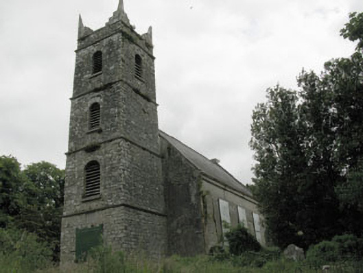 St Mary's Church of Ireland Churchchurch/chapel · 729 yd
 IndicatedKiln, lime · 860 yd
 Grange HillMountain / peak · 1677 yd
 Hugh MaguireMemorial · 1.1 mi
 Iniscarra Dam ViewViewpoint · 1.5 mi
 Ballincollig CastleCastle · 1.8 mi
 Ballincollig Castle (in Ruins)Castle, tower house · 1.8 mi
 Cave in Ballincollig (muskerry East By., Carrigrohane Par.)Cave · 1.8 mi
 Stone BeachBeach / strand · 3.1 mi
Other information
Photo: Credit not shown in the picture search · Rights wording not checked; contact us if this picture should be removed