
What is recorded here
Barnaderg North holds a forgotten grid of irregular fields beside its castle and cashel. Grass has smothered the ancient banks, but ridge and furrow marks still trace hands that worked the soil before memory faded. The land keeps its shape even when people stop naming it.
In the vicinity of Barnaderg Castle (GA044-018----) which lies c. 300m to SE and a cashel (GA044-017----) c. 50m to NE. Aerial reconnaissance in July 1970 (CUCAP K17 W 57-9) showed an extensive series of grassed-over banks. However, those in the vicinity of the castle are likely to be relatively modern drainage trenches. In contrast, those to SW and W of the enclosure form a series of small irregular fields, covering an area c. 200m NE-SW by c. 150m NW-SE, within which some ridge and furrow cultivation is visible. (Norman and St Joseph 1969, 4-5)
The above description is derived from the published 'Archaeological Inventory of County Galway Vol. II - North Galway'. Compiled by Olive Alcock, Kathy de hÓra and Paul Gosling (Dublin: Stationery Office, 1999).
Updated by: Olive Alcock
Date of revised upload: 15 September 2015
The monument record does not grant public access. Check the route and ask the landowner before entering private land.
- What survives
- Recorded monument
Places near here
 Barnaderg CastleCastle · 327 yd
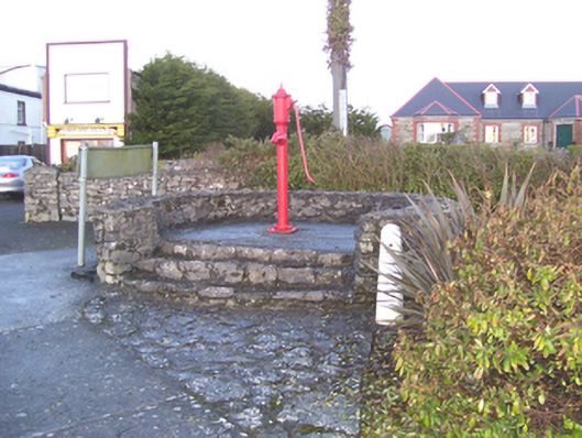 water pumpwater pump · 1198 yd
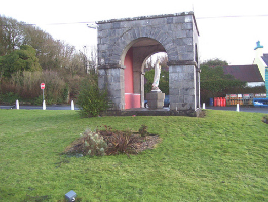 monumentmonument · 1223 yd
 IndicatedSweathouse · 1.4 mi
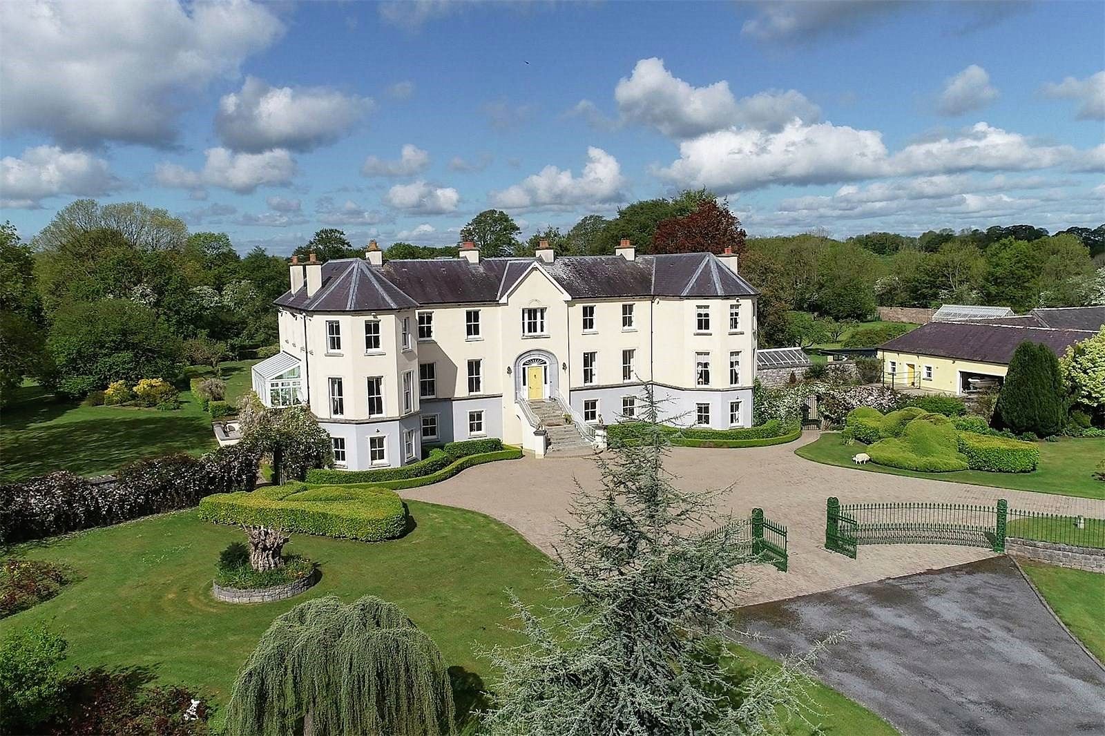 Lisherriddy FortFairy fort / earthen ringfort · 1.6 mi
 Knockmoy AbbeyHeritage attraction · 3.1 mi
 Castle (in ruins)Castle, tower house · 3.9 mi
 European ashEuropean ash · 7.5 mi
 Menlough IRAMemorial · 8.0 mi
 Mass RockNamed rock · 8.7 mi
 KnockmaaWood · 9.4 mi
 Killererin Church (in Ruins)Church · 1458 yd
Other information
Photo: Credit not shown in the picture search · Rights wording not checked; contact us if this picture should be removed