
What is recorded here
Detached four-bay two-storey coastguard station, built 1890, on a shallow L-shaped plan with two-bay two-storey advanced end bay; three- or four-bay two-storey rear (north) elevation. Occupied, 1911. Modified, ----, to accommodate occasional alternative use. Now disused. Part bitumen felt-covered hipped slate roof on an L-shaped plan with clay ridge tiles, cement rendered chimney stacks having lichen-spotted cut-granite chamfered capping supporting terracotta or yellow terracotta pots, and cast-iron rainwater goods on timber eaves boards on exposed timber rafters retaining cast-iron downpipes. Fine roughcast walls on red brick header bond chamfered cushion course on tuck pointed coursed or snecked rubble stone plinth with red brick flush quoins to corners. Camber-headed window openings with cut-granite sills, and red brick block-and-start surrounds framing concrete block infill (ground floor) or replacement uPVC casement windows (first floor). Paired camber-headed window openings to rear (north) elevation with cut-granite sills, and concealed dressings framing six-over-six timber sash windows. Set in unkempt grounds.
A coastguard station erected to a design by John Howard Pentland (1855-1919), Assistant Surveyor to the Board of Works (appointed 1884), representing an integral component of the late nineteenth-century built heritage of south County Wexford. A prolonged period of unoccupancy notwithstanding, the elementary form and massing survive intact together with substantial quantities of the original fabric, both to the exterior and to the interior: however, the piecemeal introduction of replacement fittings to the openings has not had a beneficial impact on the character or integrity of a coastguard station forming part of a neat self-contained group alongside a nearby boathouse (see 15705012) with the resulting ensemble making a pleasing visual statement overlooking Clammers Point.
This does not grant access. Most recorded buildings are privately owned; view them only from public ground unless the owner allows entry.
Places near here
 farm housefarm house · 312 yd
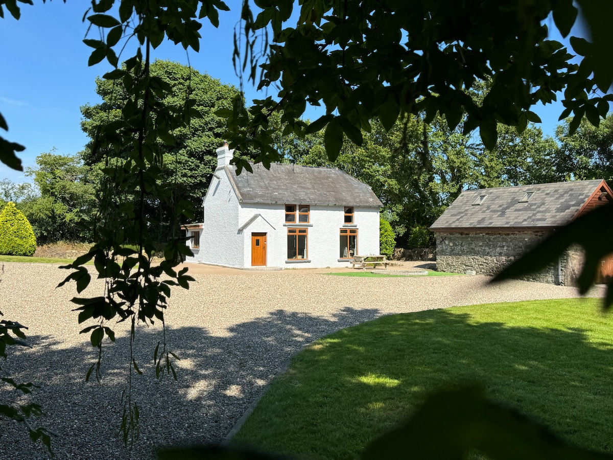 Ladys WellHoly well · 783 yd
 Castle (in ruins)Castle, unclassified · 882 yd
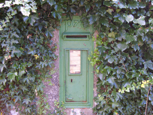 post boxpost box · 913 yd
 CastleCastle, motte · 1691 yd
 Bridges ChamberCave · 1.3 mi
 Enclosure in Haggard (bargy By.)Enclosure · 1.3 mi
 Blackhall StrandBeach / strand · 1.5 mi
 Grange BeachBeach / strand · 1.7 mi
 Ballymadder PointHeadland · 1.9 mi
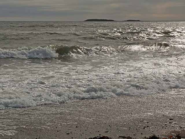 Keeragh IslandsIsland · 2.0 mi
 Saltmills Explosion MemorialMemorial · 2.3 mi
Other information
Photo: National Inventory of Architectural Heritage · Website use allowed for educational or private purposes with source credit