
What is recorded here
Indicated is a forty-metre grass platform beside Baltrasna House in County Meath, marked as a fort on an 1836 map but stripped of entrance, ditch or true defensive purpose. Trees still circle its edge like witnesses, while the stone scarp holds its shape against forgetting. It may be a forgotten boundary, a lost garden or a childhood invention elevated into history.
Situated on a rise in an undulating landscape. It is depicted as a circular area (diam. c. 35m) with trees on the perimeter on the 1836 edition of the OS 6-inch map where it is describe as a ‘Fort’ and it is immediately adjacent to Baltrasna House. This is a raised grass-covered platform (diam. c. 40m) defined by a stone-faced scarp (H 1-1.4m) and with deciduous trees growing on the perimeter. There is no visible bank, fosse or entrance, and it may be a tree-ring.
The above description is derived from the published 'Archaeological Inventory of County Meath' (Dublin: Stationery Office, 1987). In certain instances the entries have been revised and updated in the light of recent research.
Compiled by: Michael Moore
Date of revision: 9 April 2019
The monument record does not grant public access. Check the route and ask the landowner before entering private land.
- What survives
- Recorded monument
Places near here
 Baltrasna FortArchaeological place · 179 yd
 Grandgate WoodWood · 891 yd
 Limekiln WoodWood · 892 yd
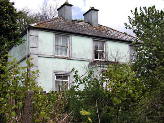 Riverviewhouse · 1381 yd
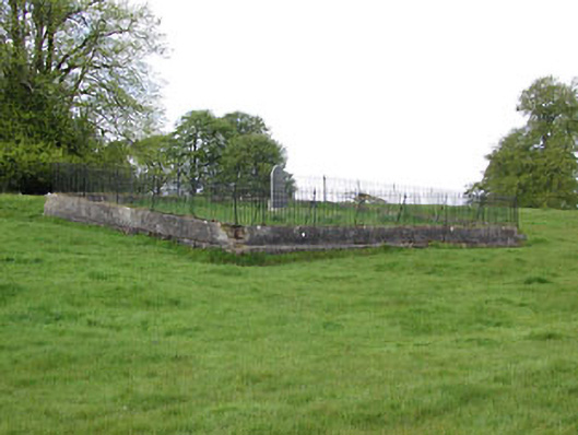 graveyard/cemeterygraveyard/cemetery · 1438 yd
 Moynalty Steam Threshing MuseumMuseum · 1520 yd
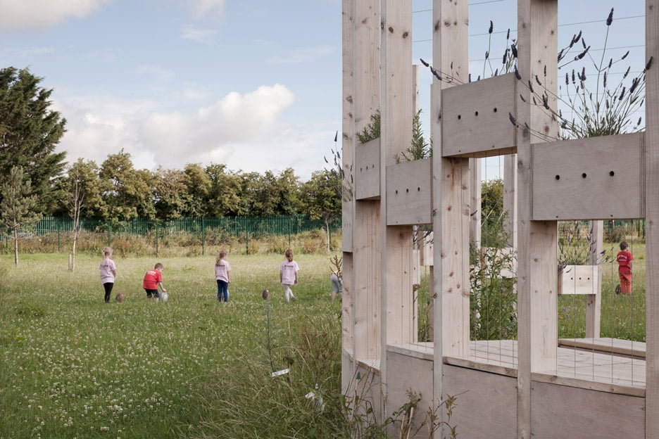 Moynalty Hedge SchoolArchaeological place · 1532 yd
 Castle (in Ruins)Castle, unclassified · 1.6 mi
 MountainpoleMountain / peak · 1.9 mi
 MaperathMountain / peak · 1.9 mi
 John Mac MahonMemorial · 2.2 mi
 MoatCastle, motte and bailey · 2.2 mi
Other information
Photo: Credit not shown in the picture search · Rights wording not checked; contact us if this picture should be removed