What is recorded here
Fairy fort / earthen ringfort in Balnavine is a fairy fort or earthen ringfort in Balnavine, County Westmeath, Ireland. This circular earthwork sits just below the summit of a hill on a southeast-facing slope, where a low bank defines an area approximately 45 metres in diameter from northwest to southeast. Traces of internal and external ditches mark the boundary, while the interior slopes from northwest to southeast toward a central depression that may represent a house site. The presence of an internal ditch may suggest a ritual or burial function rather than a typical ringfort, though that identification remains uncertain because the site is overgrown with blackthorn.
Situated just below the summit of a hill on SE facing slope with commanding views of the surrounding countryside. A circular area (approx. diam. 45m NW-SE) defined by a low earthen bank with traces of an internal and external fosse. The interior slopes from NW-SE, with a slight depression near the centre which may represent a house site (WM004-031001-). The site is overgrown with blackthorn. The presence of an internal fosse may suggest that his monument was a ritual or burial site rather than a ringfort. However the presence of an inner fosse is uncertain due to the overgrown nature of the monument.
Compiled by: Frank Coyne & Caimin O'Brien
Date of upload: 12 December 2016
The monument record does not grant public access. Check the route and ask the landowner before entering private land.
- What survives
- Recorded monument
Places near here
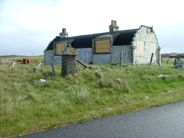 Hut site in BalnavineHut site · 1 yd
 Partially outlinedFairy fort / earthen ringfort · 670 yd
 CastleCastle, tower house · 1230 yd
 Noggin HillMountain / peak · 1584 yd
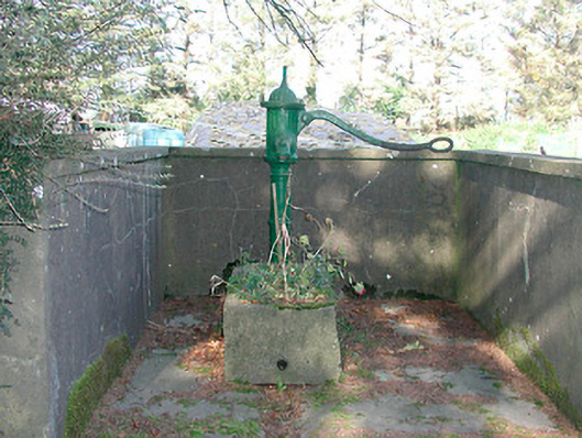 water pumpwater pump · 1626 yd
 Ben of ForeMountain / peak · 1.1 mi
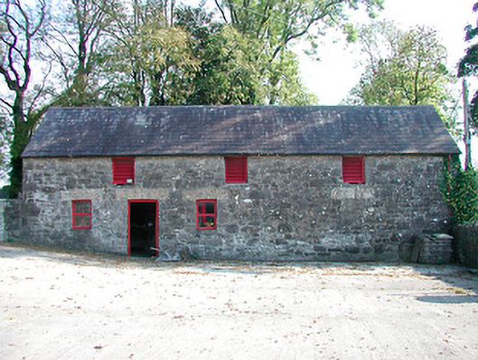 outbuildingoutbuilding · 1.3 mi
 MoatCastle, motte and bailey · 1.3 mi
 South East GateHeritage attraction · 1.6 mi
 Fore AbbeyHeritage attraction · 1.7 mi
 European ashEuropean ash · 1.7 mi
 Castle IslandIslet · 2.6 mi