What is recorded here
Indicated is a circular earthwork on a NW-facing slope in County Cork, Ireland. Its rough bank stands about one metre high and encloses a level interior wide enough for several people to walk around without touching the edge. The NE gap admits wind and rain, while the ESB pole marks the eastern boundary in modern grazing land. The shape suggests human hands shaped the slope into a room for living, herding or remembering long before the inventory named it.
In rough grazing on NW-facing slope. Circular area (28.2m N-S; 28.5m E-W) enclosed by rough bank of earth and stone (H c. 1m); break to NE; ESB pole in bank to E. Interior level; raised on E side and cut into slope on W side.
The above description is derived from the published 'Archaeological Inventory of County Cork. Volume 1: West Cork' (Dublin: Stationery Office, 1992). In certain instances the entries have been revised and updated in the light of recent research.
Date of upload/revision: 14 January 2009
The monument record does not grant public access. Check the route and ask the landowner before entering private land.
- What survives
- Recorded monument
Places near here
 IndicatedEnclosure · 323 yd
 Burial Ground for ChildrenBurial ground · 555 yd
 Creamery PlatformMemorial · 1262 yd
 Church in Kilbarry (carbery West (w.d) By.)Church · 1750 yd
 Castle (Site of)Castle, unclassified · 1.1 mi
 KnockboyMountain / peak · 1.3 mi
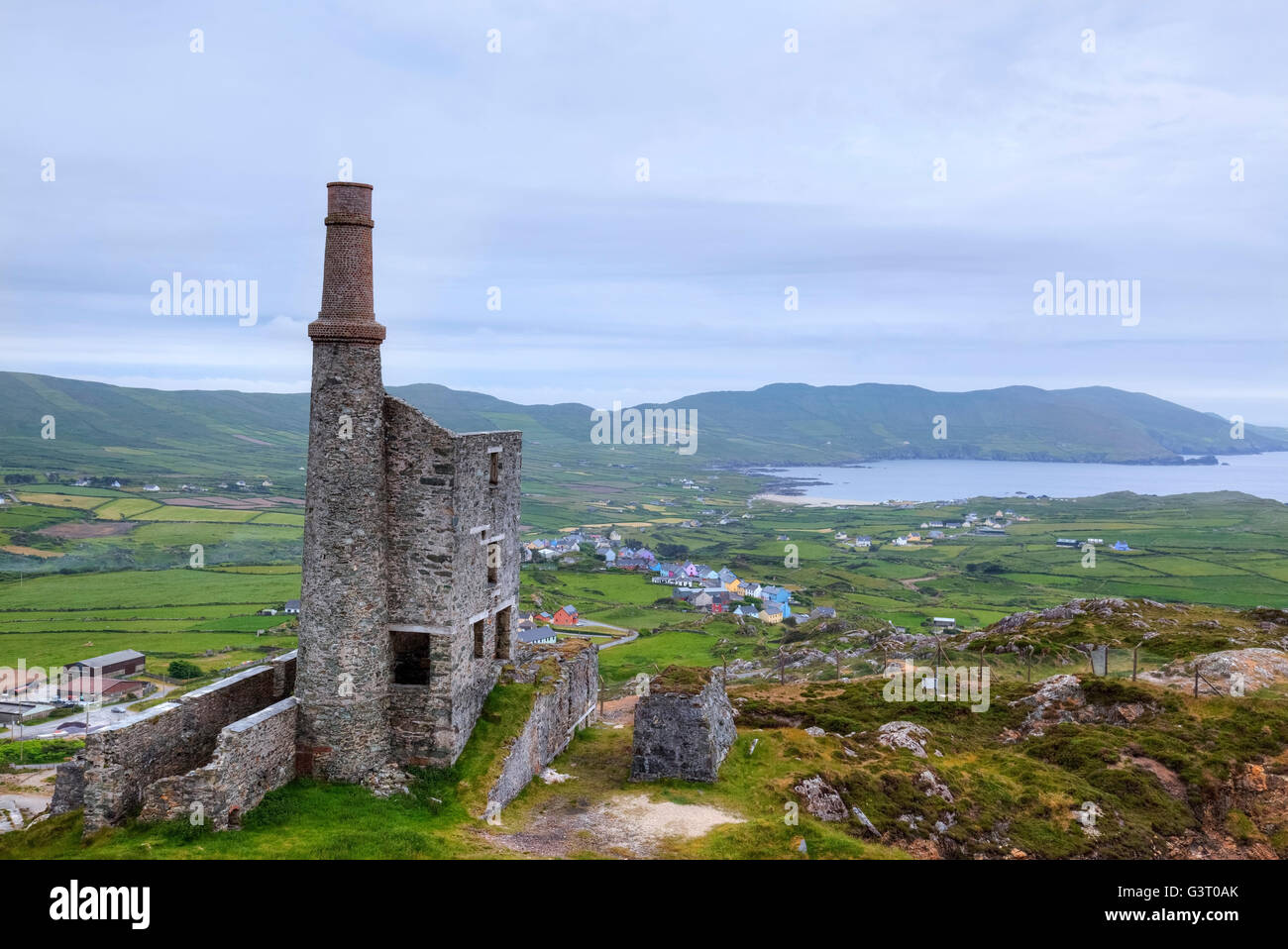 MineMine, copper · 1.3 mi
 Chimney CoveBeach / strand · 1.5 mi
 Barley CoveHeritage attraction · 1.5 mi
 KnocknamaddreeMountain / peak · 1.6 mi
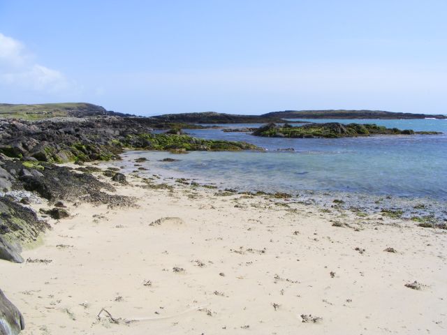 Galley Cove BeachBeach / strand · 1.9 mi
 Bird IslandIslet · 1.9 mi