What is recorded here
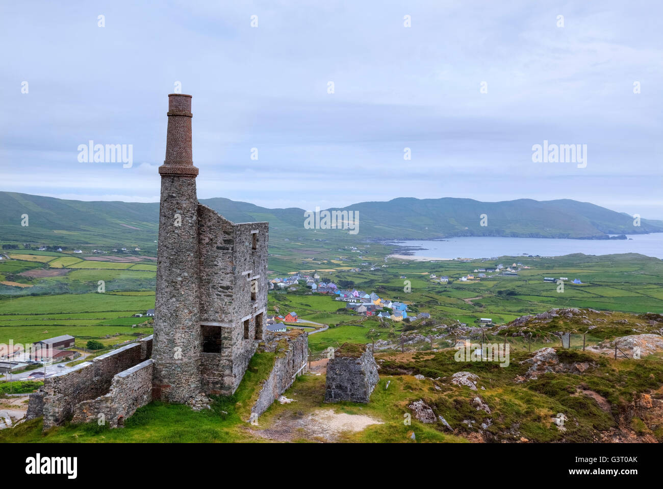
On W-facing slope above pasture, 1.3km SW of Goleen village. Complex of mine workings on "Danes Lode"; discovered 1852-3 during mineral exploration. 1853 exploratory shaft and horizontal level at base of hillslope; shaft infilled; horizontal level extant, driven 075°; (L 6m; Wth 1.2m; H 1.6m); drill-holes on mine walls. 5-6m above 19th century trial, two grass-covered depressions (L 6-7.5m; Wth 3.5-2.5m; D 1-2m), with eroded spoil dumps. Three smaller depressions upslope. Below workings on level ground, low spoil mound (c. 20m N-S; c. 15m E-W); modern disturbance, stone mauls of Mt. Gabriel-type exposed. (O'Brien 1990)
A charcoal sample recovered from a depth of 1m within the mine sediment has been radiocarbon dated to 3480±35 BP (GrN-25561) (O'Brien 2002, 40).
The above description is derived from the published 'Archaeological Inventory of County Cork. Volume 1: West Cork' (Dublin: Stationery Office, 1992). In certain instances the entries have been revised and updated in the light of recent research.
Date of upload/revision: 14 January 2009
The monument record does not grant public access. Check the route and ask the landowner before entering private land.
- What survives
- Recorded monument
Places near here
 Fulacht fia in Greenane (carbery W. (w.d) By.)Fulacht fia · 1292 yd
 Goleen Roman Catholic Churchchurch/chapel · 1303 yd
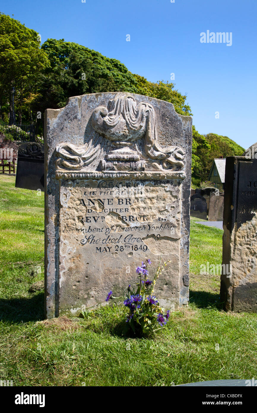 GraveBurial · 1327 yd
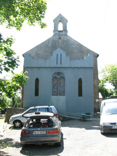 Fastnet Saleschurch/chapel · 1380 yd
 Castle (Site of)Castle, unclassified · 1565 yd
 KnocknamaddreeMountain / peak · 1.6 mi
 Creamery PlatformMemorial · 1.9 mi
 KnockboyMountain / peak · 1.9 mi
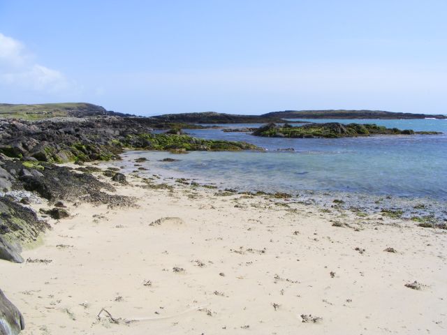 Galley Cove BeachBeach / strand · 2.0 mi
 Chimney CoveBeach / strand · 2.4 mi
 Barley CoveHeritage attraction · 2.6 mi
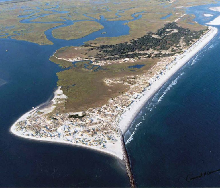 Bird IslandIslet · 2.6 mi
Other information
Photo: Credit not shown in the picture search · Rights wording not checked; contact us if this picture should be removed