What is recorded here
Fairy fort / earthen ringfort in Ballyvaughan (Castletownarra parish) is a fairy fort or earthen ringfort in Ballyvaughan (Castletownarra parish), County Tipperary, Ireland. It occupies a west-facing slope off the crest of a hill, where a stream on the west side forms a natural boundary. A single bank encloses the site, standing 0.75 metres high outside and 0.36 metres high inside, although it is reduced to a scarp on the west and levelled on the east and north. The interior slopes slightly westward, while a wet ditch about 2 metres wide and 0.2 metres deep separates the northern sector from an adjacent field boundary.
Situated on a W-facing slope, off the crest of a hill in pastureland. A stream runs by the W side of the site forming a natural fosse. A univallate ringfort defined by a bank (Wth 2.4m; int. H 0.36m; ext. H 0.75m) largely reduced to scarp along the W side and levelled at E (where the flattened remains of the bank can still be distinquished) and N. The interior slopes slightly to the W. In the N sector a very wet fosse (Wth c. 2m; D 0.2m) separates the site from an adjacent drystone field boundary. Known as 'lios' by the landowner, who described a tradition of a light over the fort foretelling the death of a family member in the USA.
The above description is derived from 'The Archaeological Inventory of County Tipperary. Vol. 1 - North Tipperary' compiled by Jean Farrelly and Caimin O'Brien (Dublin: Stationery Office, 2002). In certain instances the entries have been revised and updated in the light of recent research.
Date of upload/revision: 22 September 2008
A univallate earthen ringfort in Ballyvaughan, likely dating to the early medieval period, is situated on a west-facing slope with a stream forming a natural fosse to the west. Local tradition associates such sites with fairy folklore, reflecting their mystical status in Irish cultural heritage.
The monument record does not grant public access. Check the route and ask the landowner before entering private land.
- What survives
- Recorded monument
Places near here
 Old Tug of War DeviceMonument · 764 yd
 Garrykennedy ForestWood · 1030 yd
 Enclosure in GarrykennedyEnclosure · 1041 yd
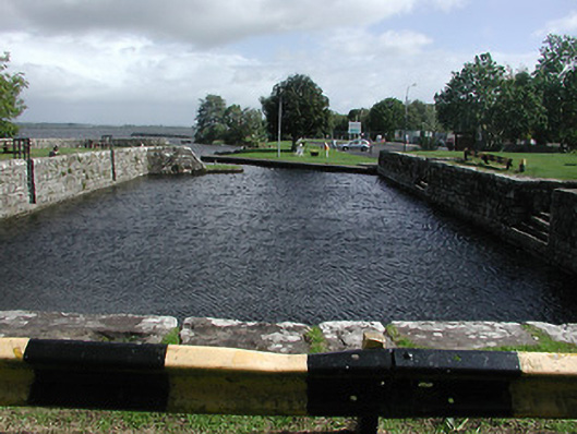 quay/wharfquay/wharf · 1134 yd
 Garrykennedy Castle (in ruins)Castle, tower house · 1138 yd
 Mine in GarrykennedyMine · 1215 yd
 CopperminesCave · 1223 yd
 Mass RockNamed rock · 1311 yd
 Youghal BayBay · 1.3 mi
 Freagh WoodWood · 1.3 mi
 Castle (in ruins)Castle, tower house · 1.8 mi
 Giant's GraveArchaeological place · 2.5 mi