What is recorded here
On a very gentle S-facing slope in generally undulating terrain, under tillage. Enclosure is not marked on either the 1st (1840) or 2nd (1906) ed. OS 6-inch map but was identified as a cropmark on an aerial photgraph (CUCAP July 1970 BDR 66/67). The cropmark (dims. c. 42m) clearly shows that the former enclosure was surrounded by two fosses, a smaller inner fosse and a wider outer fosse with a possible causeway over both fosses in the E quadrant. The field boundaries to the N and E have been levelled.
Compiled by: Jean Farrelly
Date of upload: 26 August 2011
The monument record does not grant public access. Check the route and ask the landowner before entering private land.
- What survives
- Recorded monument
Places near here
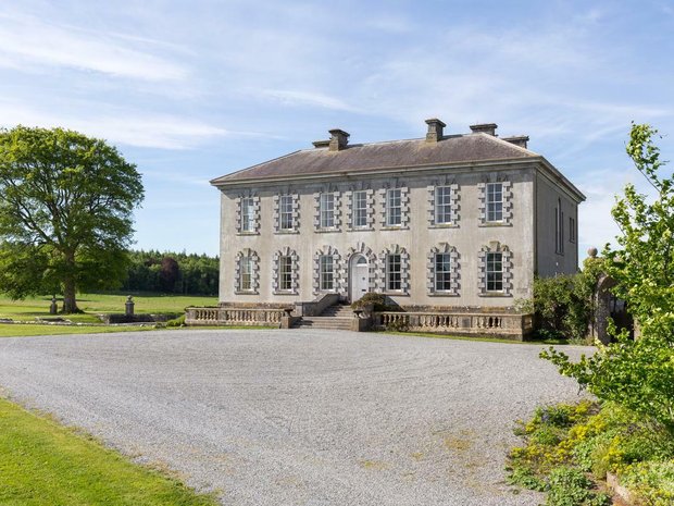 Enclosure in Ballyveelish NorthEnclosure · 475 yd
 Structure in Ballyveelish NorthStructure · 544 yd
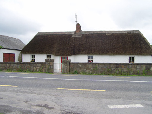 The Thatchhouse · 738 yd
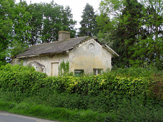 Knockeevan Housegate lodge · 1.1 mi
 Pedunculate OakPedunculate Oak · 1.1 mi
 CastleCastle, unclassified · 1.2 mi
 RathronanCastle, ringwork · 1.5 mi
 Persian WalnutPersian Walnut · 2.5 mi
 Francis HopkinsMemorial · 3.2 mi
 John HackettMemorial · 3.2 mi
 Main GuardHeritage attraction · 3.2 mi
 Merchant's HouseVisitor information · 3.2 mi