
What is recorded here
Ballyvaghan Forts are three abandoned stone rings dropped into gentle Clare meadowland beside a tidal inlet. The main cashel has been reduced to a low, wide bank and faint scarp, yet a 2007 magnetic survey still traced its hidden stone arc. The other two rings sit close enough to suggest a small neighbourhood of forts rather than a lonely marker. They may have been farms, refuges or boundary claims, but the tide and plough have erased most of the answer.
On a very gentle SW-facing slope of meadowland, c. 70m SSE of the tidal inlet at Ballyvaghan. Hachured with trees on the interior and named, along with a neighbouring rath (CL002-052---) and enclosure (CL002-054----), as ‘Ballyvaghan forts’ on the 1842 ed. of the OS 6-inch map and hachured with trees to the S on the 1915 ed. Listed as ‘Enclosure’ in the SMR (1992) and the RMP (1996). A largely levelled oval rath (int. dims. 31m crest to crest N–S; 28m E–W crest of bank at E to top of scarp at W), visible as a very low, wide bank (H 0.1–0.2m; Wth 4–6m) curving from NNW–SW and by a very faint scarp (falling 0.3m over 4m) from SW–NNW. A modern field boundary runs from SW–NE across the site. The field that includes the NW side of the fort was the subject of a magnetic gradiometer survey in 2007 (Leigh 2007). The arc of the bank was visible in the survey as a negative response suggesting a ‘stone construction, or perhaps a stone filled ditch’ (Leigh 2007, 6 and Fig. 3); this and the lack of any response consistent with a ditch suggest this was a cashel. The other two ‘Ballyvaghan forts’, the rath (CL002-052----) and enclosure (CL002-054----), are located c. 70m NNE and c. 80m E, respectively. Westropp (1901, 279–80) also included an exceptionally large cashel (CL002-053----) located c. 250m NNE in this group.
Compiled by: Mary Tunney and Ros Ó Maoldúin
Date of upload: 9 December 2020
Ballyvaghan Forts are likely early-medieval ringforts situated on a south-west facing slope near the tidal inlet at Ballyvaghan. These forts, along with a neighbouring rath and enclosure, may have been part of a wider territorial or defensive system, though specific folklore or historical associations are not recorded.
The monument record does not grant public access. Check the route and ask the landowner before entering private land.
- What survives
- Recorded monument
Places near here
 J.M. Mooney and Sonshouse · 120 yd
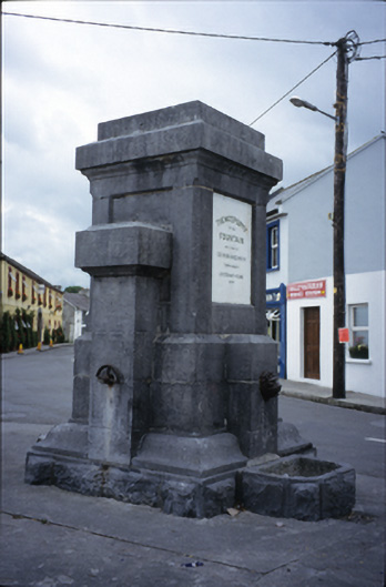 Ballyvaghan Fountainfountain · 141 yd
 Ballyvaghan Castle (in ruins)Castle, unclassified · 257 yd
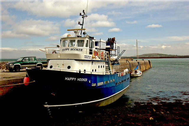 Ballyvaghan QuayQuay · 405 yd
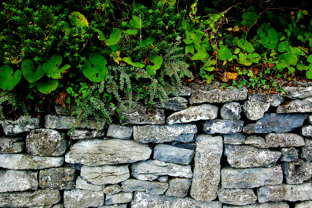 Ballyvaghan CaherFairy fort / stone ringfort · 429 yd
 Rine PointHeadland · 1.1 mi
 Newtown CastleCastle, tower house · 1.2 mi
 Bird Of Prey CentreHeritage attraction · 1.8 mi
 Aillwee CaveCave · 1.9 mi
 CappanawallaMountain / peak · 2.0 mi
 Moneen MountainMountain / peak · 2.2 mi
 Muckinish PointHeadland · 3.0 mi
Other information
Photo: Credit not shown in the picture search · Rights wording not checked; contact us if this picture should be removed