What is recorded here
The Down Survey (1655-6) barony map of Kells, Co. Kilkenny (Hibernia Regnum, courtesy of Trinity College Dublin) depicts a castle (KK026-031001-) and two houses (KK026-031002-; KK026-031003-) in the 17th-century townland of Ballaghtobbin and Croghtabeg. This corresponds with the modern townland of Ballytobin.
According to Carrigan (1905, 44-5), Ballytobin House, 'probably occupies the site of the old residence or castle of the Tobins. About 200yrds [c. 180m] north of this there is, or was, till a few years ago, an old residence of the Hall family. Between both houses tradition locates a draw-well, the exact position of which, however is unknown, into which the Tobins cast several articles of value on the occasion of their hasty flight from Ballytobin at the approach of Cromwell and his army. In 1653, Ballaghtobin and Croghtabegg, the property of David Tobin, were granted to Ralph Hall and William Baker'. It seems likely that Carrigan is referring to the castle and one of the houses depicted on the Down Survey map.
It is possible that the castle and/or 17th-century house are incorporated in the fabric of Ballytobin House or are located in close proximity to it.
See attached:
KK026-031002-_01 extract from Down Survey (1655-6) barony map of Kells, Co. Kilkenny (Hib. Reg., courtesy of Trinity College Dublin)
Compiled by: Jean Farrelly
Date of upload: 11 May 2022
The monument record does not grant public access. Check the route and ask the landowner before entering private land.
- What survives
- Recorded monument
Places near here
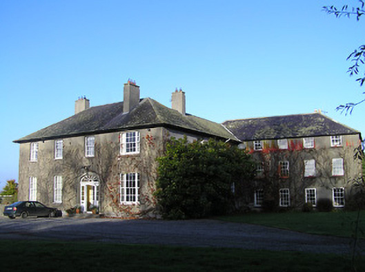 Ballaghtobinhouse · 2 yd
 Ballytobin Church in ruinsChurch · 63 yd
 Collins PaddockForest · 199 yd
 European ashEuropean ash · 208 yd
 Wellington Ho.Castle, unclassified · 1059 yd
 Redmore House (site)Archaeological place · 1570 yd
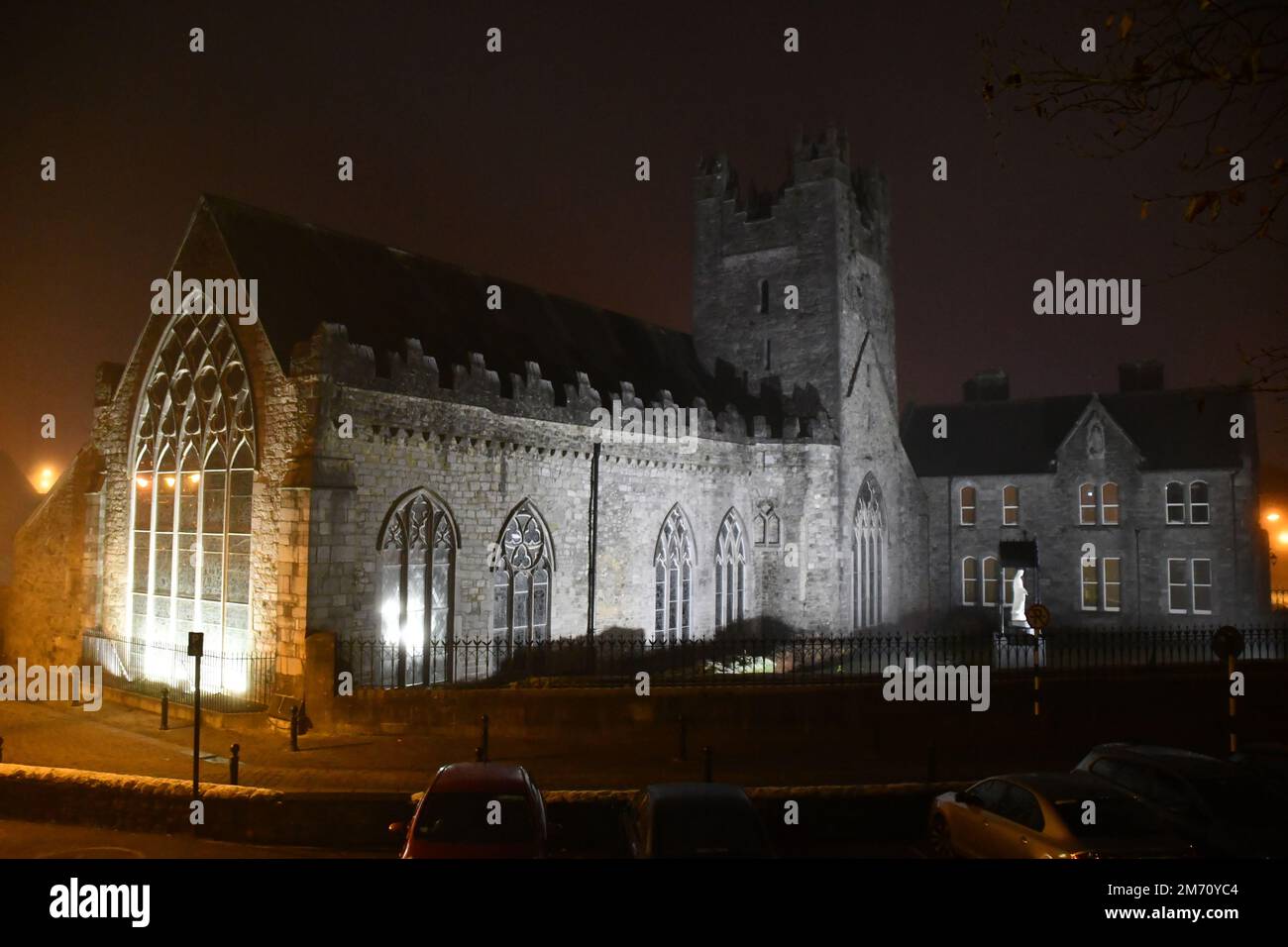 IndicatedEnclosure · 1709 yd
 Coolaghmore National SchoolMemorial · 1.6 mi
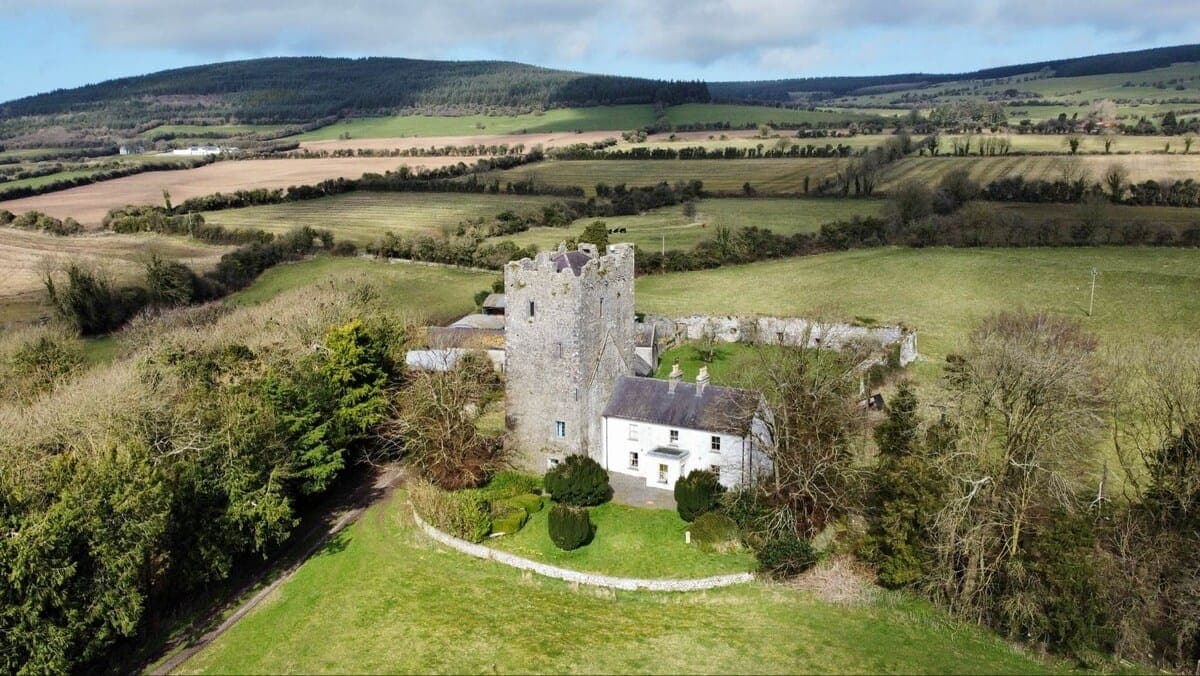 CastleCastle, tower house · 1.6 mi
 Mill IslandIslet · 2.0 mi
 Pat WalshMemorial · 2.1 mi
 Green StreetVisitor information · 3.0 mi