What is recorded here
New monument discovered in 2003 during excavations of the M7 Heath-Mayfield motorway scheme by Jonathan Dempsey of Archaeological Consultancy Services Ltd under licence number 03E0623. This site was located in an area of deep fill and was protected and reburied and preserved in situ.
Described as Ballyshaneduff or the Derries A this site consists of a subcircular pit with two fills which measured 1.1m N-S by 0.8m by 0.25m deep. This feature was probably associated with the fulacht fiadh excavated by Thaddeus Breen (Bennett 2006, 282).
Compiled by: Caimin O'Brien
Date of upload: 17 December 2007
The monument record does not grant public access. Check the route and ask the landowner before entering private land.
- What survives
- Recorded monument
Places near here
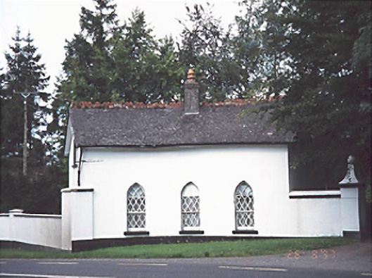 Ashfield Housegate lodge · 344 yd
 Ashgrove RathFairy fort / earthen ringfort · 1085 yd
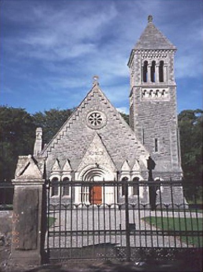 Church of the Ascension (Lea)church/chapel · 1265 yd
 Enclosure in BellegroveEnclosure · 1307 yd
 Wych ElmWych Elm · 1.4 mi
 OutlinedCastle, unclassified · 2.0 mi
 Giant SequoiaGiant Sequoia · 2.2 mi
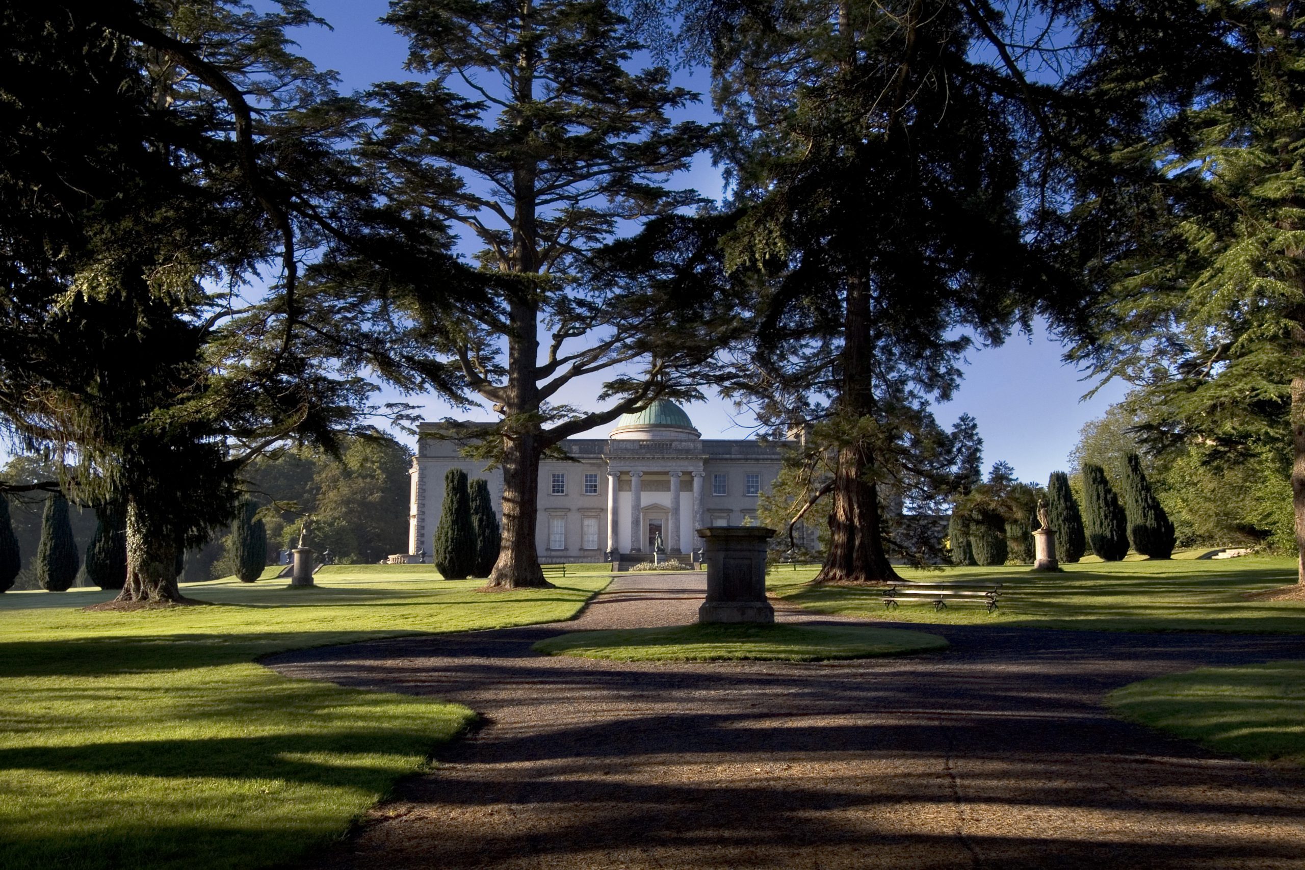 Site of CastleCastle, unclassified · 2.3 mi
 Church (in Ruins), GraveyardChurch · 2.7 mi
 Bog Lake WalkWalking route · 5.2 mi
 Bog Oak WalkWalking route · 5.4 mi
 Bithia Mary CrokerMemorial · 10 mi