What is recorded here
On the Down Survey (1655-6) Galmoy barony map, a gabled house with a single chimney is depicted in the S portion of the townland. The terrier accompanying the Down Survey (1655-6) parish map of Ballin records, ‘There is at Ballinringe a House with a Chimney and some cabbins’. According to Carrigan (1905, vol. 2, 330-1), the townland is named after a person with the surname, 'O'Ring', who, 'lived in a castle that stood in Ballyring "Bawn." Some of the foundations of this castle remained down to about 1844, when they were cleared away'. This may have been a 16th/17th strong house misidentified from the ruins as a castle and is possible the house described on the Down Survey. The location of this house within the townland is unknown.
Compiled by: Jean Farrelly
Date of upload: 12 February 2018
The monument record does not grant public access. Check the route and ask the landowner before entering private land.
- What survives
- Recorded monument
Places near here
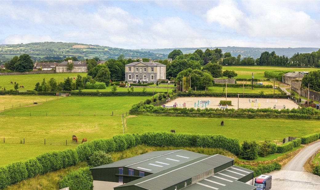 Enclosure in BallygowneyEnclosure · 1174 yd
 Enclosure in LisdowneyEnclosure · 1348 yd
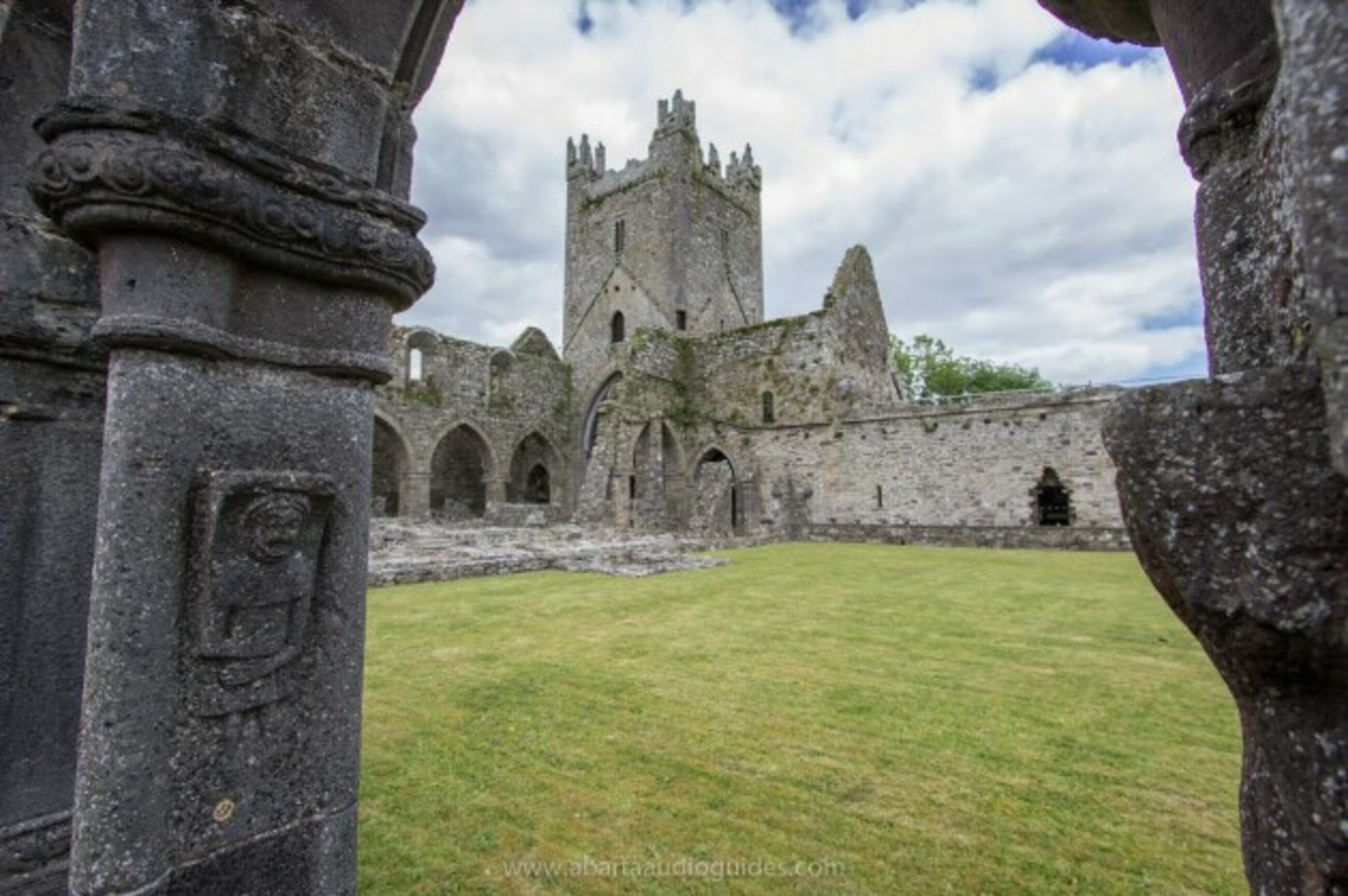 Church in Tifeaghna (browne)Church · 1.3 mi
 Foyle Bridgebridge · 1.3 mi
 Balleen Castle (ruins)Castle · 1.5 mi
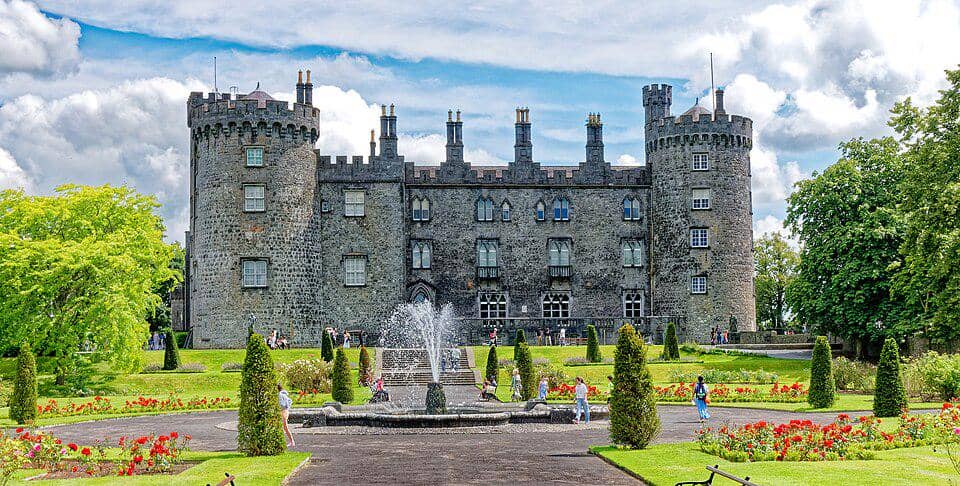 CastleCastle, unclassified · 1.5 mi
 The CopseWood · 3.6 mi
 Street fieldArchaeological place · 3.7 mi
 Clomantagh HillMountain / peak · 4.0 mi
 Anker's IslandIsland · 4.1 mi
 DelaneyMemorial · 5.5 mi
 Cnoc SeanrathaMemorial · 7.0 mi