
What is recorded here
Walled garden, extant 1839, on a rectangular plan with coursed rubble stone boundary wall to perimeter having overgrown coping. Now disused. Set in wooded grounds shared with Ballyrankin House.
A walled garden contributing positively to the group and setting values of the Ballyrankin House estate.
This does not grant access. Most recorded buildings are privately owned; view them only from public ground unless the owner allows entry.
Places near here
 RoadRoad, road/trackway · 488 yd
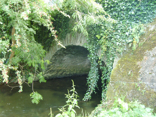 Coolattin Bridgebridge · 539 yd
 European YewEuropean Yew · 589 yd
 European LarchEuropean Larch · 620 yd
 IndicatedFairy fort / earthen ringfort · 1742 yd
 Clohamon Castle (in ruins)Castle, unclassified · 1.2 mi
 Ryland Castle (in ruins)Castle, unclassified · 1.5 mi
 Embanked enclosureFairy fort / earthen ringfort · 2.0 mi
 1798 rebellion Battle of Newtownbarry (AKA Bunclody) commemorative plaqueMemorial · 3.1 mi
 Bunclody 1798 Bicentenary MemorialMemorial · 3.1 mi
 Gibbet HillMountain / peak · 3.8 mi
 John's HillMountain / peak · 4.8 mi
Other information
Photo: National Inventory of Architectural Heritage · Website use allowed for educational or private purposes with source credit