What is recorded here
Marked faintly as a small circular enclosure (diam. c. 30m) only on the 1840 ed. of the OS 6-inch map. Situated in pasture towards the top of a gentle S-facing slope, it is not visible at ground level.
The above description is derived from the published 'Archaeological Inventory of County Waterford' (Dublin: Stationery Office, 1999). In certain instances the entries have been revised and updated in the light of recent research.
Date of upload/revision: 23 December 2008
The monument record does not grant public access. Check the route and ask the landowner before entering private land.
- What survives
- Recorded monument
Places near here
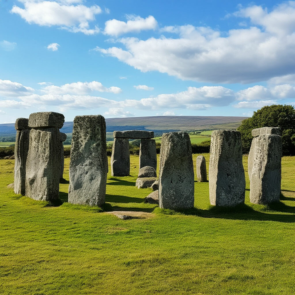 CromlechsMegalithic structure · 744 yd
 Kilquan Church (in ruins)Church · 851 yd
 Man-made underground passage in Ballyquin (upperthird By.)Man-made underground passage · 937 yd
 Fenoagh Church (in ruins)Church · 1022 yd
 CarrigfenoaghMountain / peak · 1.1 mi
 Tower Hill WoodWood · 1.5 mi
 Tower HillMountain / peak · 1.6 mi
 Curraghmore HouseCastle · 2.1 mi
 Ormonde CastleHeritage attraction · 2.2 mi
 Sitka SpruceSitka Spruce · 2.2 mi
 Portlaw Heritage CentreMuseum · 3.5 mi
 CastleCastle, tower house · 3.7 mi