What is recorded here
Fairy fort / earthen ringfort in Ballyowen is a fairy fort or earthen ringfort in Ballyowen, County Westmeath, Ireland. The site sits on a steep, naturally formed, gravel hillock in gently undulating pasture, where a 1970 account recorded good views in all directions. A ringfort lies approximately 165 metres to the north-northwest, while the revised 1913 edition of the Ordnance Survey 25-inch map depicts the earthwork as an oval measuring approximately 55 metres from northeast to southwest and 44 metres from northwest to southeast. The 1970 description notes a broad oval area enclosed by a steep bank almost reduced to a scarp from west-southwest through west to north-northeast, with a gap at the north that may represent the entrance.
Situated on top of a steep, naturally formed, gravel hillock, in gently undulating pasture with good views in all directions. Ringfort (WM020-020----) lies c. 165m to NNW. Depicted on the revised 1913 ed. OS 25-inch map as an oval-shaped earthwork (approx. dims. 55m NE-SW; 44m NW-SE). Monument described in 1970 as a broad oval-shaped area (approx. diam. 37m) enclosed by a steep bank which is almost reduced to a scarp from WSW-W-N-ENE. There is no visible trace of a fosse. A gap (Wth at top 5.5m; basal Wth 2.6m) at N may represent the entrance. Some large stones lie on the surface inside the entrance at W. The interior rises appreciably from the perimeter to the centre. Within are two pronounced banks which extend from the perimeter at W and NW, to the centre, where there is a modern depression and a small quarry hole. A portion of the perimeter has been quarried at ESE. Much of the monument is visible today as a quarry on Digital Globe aerial photography.
Compiled by: Alison McQueen, Vera Rahilly and Caimin O’Brien
Date of upload: 06 June 2019
This remains an important historical record, but the official description says the monument is no longer visible or has been destroyed. The monument record does not grant public access. Check the route and ask the landowner before entering private land.
- What survives
- No visible remains or recorded as destroyed
Places near here
 IndicatedFairy fort / earthen ringfort · 211 yd
 Hut site in Balrath EastHut site · 635 yd
 Reynella Cottageoutbuilding · 831 yd
 CastleCastle, motte · 1207 yd
 DardistownCastle, unclassified · 1454 yd
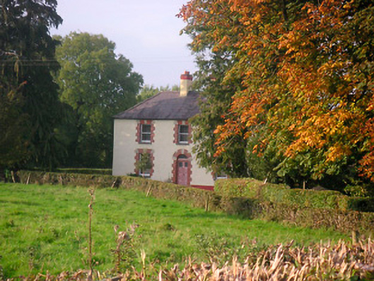 Scarden Househouse · 1467 yd
 GinkgoGinkgo · 1.0 mi
 ScregganWood · 4.9 mi
 Kells HillMountain / peak · 9.0 mi
 Seafin HillMountain / peak · 9.7 mi
 Croppies' GraveMemorial · 10 mi
 Church in DardistownChurch · 1522 yd