What is recorded here
Situated at the N end of a N-S ridge with wide views of the surrounding countryside. One of five cists (KK005-003002-, KK005-003003-, KK005-003004-, KK005-003006-) discovered in 1971 during bulldozing at a possible cairn (KK005-003001-) in an area of quarrying. This cist is referred to in Prendergast and Ryan (2011, 239) as Grave 4 and was discovered intact. It was rectangular in plan, aligned E-W, and was formed of four slabs, one of which was inclined inwards. It was filled with a homogenous deposit of rain-washed material. No human remains or artefacts were found. (Cahill and Sikora 2011, vol. 1, 235-43)
Compiled by: Mary Tunney
Date of upload: 28 January 2013
Cist in Ballyoskill is a small stone burial chamber, likely dating to the Early Christian or Bronze Age period. Its discovery among several cists suggests a local burial tradition, possibly associated with a dismantled or disturbed cairn.
The monument record does not grant public access. Check the route and ask the landowner before entering private land.
- What survives
- Recorded monument
Places near here
 IndicatedFairy fort / earthen ringfort · 849 yd
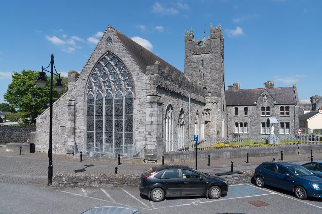 Abbey (in ruins)Religious house, unclassified · 1.3 mi
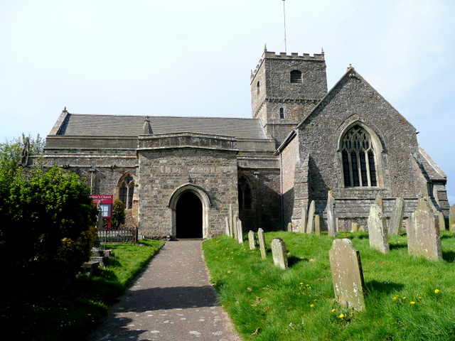 St. Chaddens Church (in ruins)Church · 1.4 mi
 (Site of) CastleCastle, unclassified · 1.5 mi
 Enclosure in Ironmills OR KilrushEnclosure · 1.6 mi
 Graveyard in SraleaghGraveyard · 2.5 mi
 1798 MonumentMemorial · 2.6 mi
 Common LimeCommon Lime · 2.9 mi
 Moat Castle (site of)Archaeological place · 3.0 mi
 Anker's IslandIsland · 3.0 mi
 Donaghmore WellSpring · 3.9 mi
 Ardra LoopWalking route · 4.2 mi