
What is recorded here
Towards the base of a NE-facing slope, overlooking a stream in a small river valley. In rough pasture in undulating upland terrain. There is a good view N along the river valley, but the view is impeded E by a rising hill on the opposite side of the stream and S and W by a rising hill. A small ringfort (diam. 23.2m N-S; 22.5m E-W) enclosed by an earthen round-topped bank (Wth 1.4m; overall Wth 3.8m; int. H 0.45m; ext. H 0.4m) and slight outer fosse (Wth 1.4m; D 0.2m), though this is only evident in the S sector, on either side of the entrance which is at the SSE (Wth 2.7m). The interior slopes to ENE with the natural incline. There are hawthorn trees growing on the perimeter and blackthorn, rushes and grass in the interior. The E bank has been eroded, probably by a combination of flooding and cattle. The bank in the NW sector is also somewhat eroded. There is a hollow (Wth 6.9m) in the interior at N between the interior and bank which is probably due to later disturbance, perhaps drainage work.
Compiled by: Jean Farrelly
Date of upload: 13 June 2017
The monument record does not grant public access. Check the route and ask the landowner before entering private land.
- What survives
- Recorded monument
Places near here
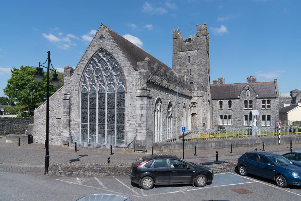 Abbey (in ruins)Religious house, unclassified · 1.1 mi
 Enclosure in Ironmills OR KilrushEnclosure · 1.1 mi
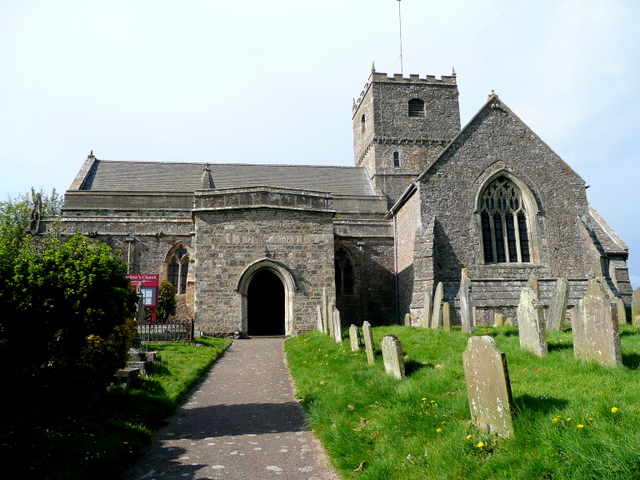 St. Chaddens Church (in ruins)Church · 1.2 mi
 (Site of) CastleCastle, unclassified · 1.8 mi
 Ladys WellHoly well · 2.0 mi
 1798 MonumentMemorial · 2.5 mi
 Common LimeCommon Lime · 2.8 mi
 Graveyard in SraleaghGraveyard · 2.9 mi
 Moat Castle (site of)Archaeological place · 3.4 mi
 Anker's IslandIsland · 3.5 mi
 Ardra LoopWalking route · 3.9 mi
 Castlecomer Discovery ParkHeritage attraction · 4.2 mi
Other information
Photo: Credit not shown in the picture search · Rights wording not checked; contact us if this picture should be removed