
What is recorded here
Lisgortnalass is a levelled fairy fort on a Mayo hill where views stretch far across the land. Its circular scar still shows beneath grass and fences, marking a boundary that ordinary tools forgot. People may have lived there before forgetting, but the shape remains large enough to imagine without proving.
In pasture, located on a hill with good views in all directions, most extensive at NE−S.
A circular embanked enclosure (diam. c. 35-40m), named Lisgortnalass, is shown on the 1838 OS 6-inch map; it is not shown on later map editions where the location is marked ‘Lisgortnalass (Site of)’.
This enclosure, most likely a rath, has been levelled but a circular area (diam. c. 45m) outlined by remnants of a scarp can still be traced. The scarp (H 0.8-1m; Wth slope 5m) is best preserved at S−NW where it retains a slight stony internal lip (Wth c. 2m) at W−NW. At NNW−N it is incorporated into or truncated by a field fence bordering a modern road, and on the E it is levelled to a barely discernible curving undulation.
The interior is level and grassy with a slight slope down from centre to SE and S, and is now crossed by two straight property fences on a NW−SE axis.
Compiled by: Jane O’Shaughnessy
Date of upload: 4 November 2022
The monument record does not grant public access. Check the route and ask the landowner before entering private land.
- What survives
- Recorded monument
Places near here
 Knockanroe FortEnclosure · 696 yd
 IndicatedCastle, motte · 864 yd
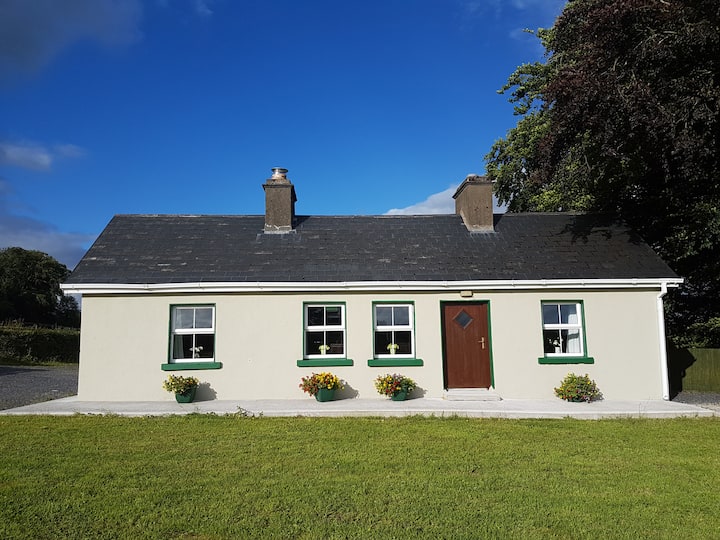 Enclosure in Cottage (costello By.)Enclosure · 1251 yd
 Saint Mary's Catholic Churchchurch/chapel · 1396 yd
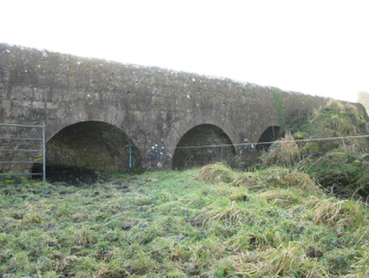 Agloragh Bridgebridge · 1.4 mi
 CastleCastle, unclassified · 1.6 mi
 Slieve DartMountain / peak · 5.1 mi
 Knock MuseumMuseum · 6.9 mi
 Knock ShrineHeritage attraction · 6.9 mi
 Oak WoodForest · 7.5 mi
 Geoffrey's WoodForest · 8.4 mi
 Mass RockNamed rock · 14 mi
Other information
Photo: Credit not shown in the picture search · Rights wording not checked; contact us if this picture should be removed