What is recorded here
On the steep upper slopes of the hills forming the W side of the Nore river valley. Shown as large circular enclosure (diam. c. 40m) on the 1st (1839) ed. OS 6-inch map. The monument is not visible at ground level. An aerial photograph (GB90.BM.14) taken in 1990 shows the monument as a cropmark consisting of a central raised area enclosed by a fosse and outer bank. Possibly associated with this enclosure are two linear cropmarks, aligned roughly E-W, one to the N and one to the S, identified on an aerial photograph (GB90.CH.35) also taken in 1990.
Compiled by: Jean Farrelly
Date of revised upload: 9 February 2016
The monument record does not grant public access. Check the route and ask the landowner before entering private land.
- What survives
- Recorded monument
Places near here
 Ballynaslee RingfortArchaeological place · 367 yd
 Seskin North RingfortArchaeological place · 413 yd
 CastleCastle, unclassified · 1073 yd
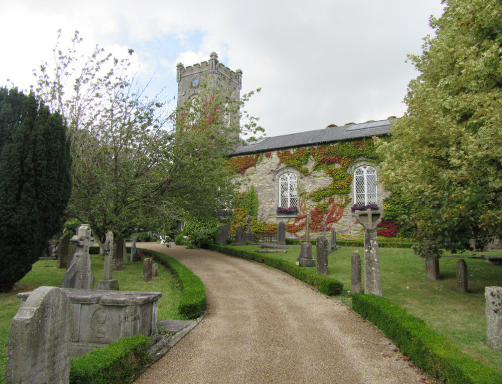 Church in BallyconraChurch · 1076 yd
 Anker's IslandIsland · 1086 yd
 Mountgarret Castle (in ruins)Castle, unclassified · 1393 yd
 Church (in ruins)Church · 1532 yd
 Graveyard in SraleaghGraveyard · 2.2 mi
 Donaghmore WellSpring · 3.0 mi
 1798 MonumentMemorial · 5.1 mi
 Common LimeCommon Lime · 5.4 mi
 Street fieldArchaeological place · 6.2 mi