What is recorded here
Grave Yard stands on the western crest of a partially dug-away esker in County Kildare, its D-shaped boundary marked by a modern mortared stone wall. The church at its centre holds sixteen-century inscribed slabs, while the earliest legible burial markers outside date from the eighteenth century. The site remains active, linking living memory to old stone and suggesting that the esker itself may have been shaped by human hands long before the wall rose.
On the level crest at the W end of a partially dug-away esker, in pastureland. A D-shaped area (diam c. 58m E-W) with straight E-side (L c. 48m) is enclosed by a modern, mortared stone wall. It is still in use and the earliest legible burial markers date from the 18th c. It contains a church (KD003-019001-) at the centre, in which there is a 16th century inscribed slab (KD003-019003-) and a possible 17th century inscribed slab (KD003-019004-), while Fitzgerald (1899-1902, 133) recorded a third, 16th century, slab (KD003-019005-) in the graveyard which was not located.
Compiled by: Gearóid Conroy
Date of upload: 10 June 2011
The monument record does not grant public access. Check the route and ask the landowner before entering private land.
- What survives
- Recorded monument
Places near here
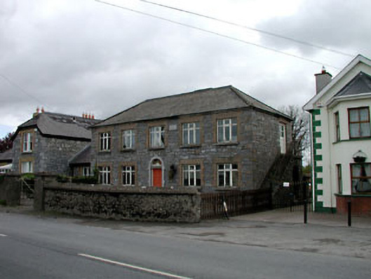 Broadford Schoolschool · 436 yd
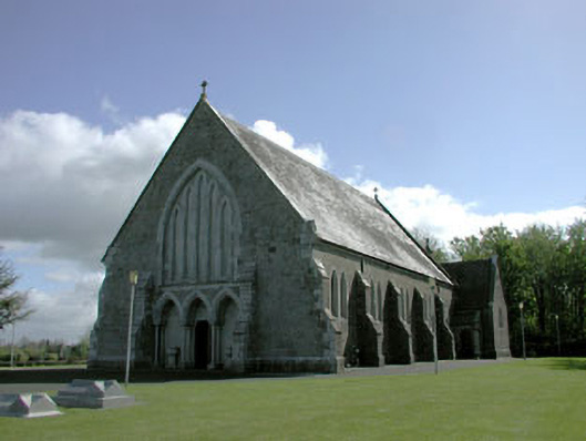 Saint Mary's Catholic Churchchurch/chapel · 989 yd
 More O’Ferrall Celtic CrossMonument · 1.6 mi
 Site of CastleCastle, unclassified · 1.6 mi
 Enclosure in MoyvallyEnclosure · 1.7 mi
 Croppies' GraveMemorial · 1.9 mi
 Site of Balrinnet CastleCastle, unclassified · 2.5 mi
 Abandoned Kinnegad CanalWood · 3.3 mi
 Buggan's WoodWood · 3.6 mi
 The Grill ShackHeritage attraction · 8.5 mi
 Candle HillMountain / peak · 20 mi
 Saint Finian's WellSpring · 20 mi