What is recorded here
Clearance of the fields is destroying the fort. The outer bank and the inner ditch have vanished completely from the northwest to the southeast, leaving only a thin ridge of soil where a defensible wall once stood. People moved stones and dirt for decades, breaking the circle without knowing what they damaged. The fairies lost their fortress because human hands treated ancient land as new property.
On the summit of a hillock in undulating pastureland. Subcircular rath (58m NNW-SSE), in fair
condition, defined by two banks and an intervening fosse. A field boundary cuts the monument at NNW and SSE and no visible surface trace survives to SW of it. Another field boundary cuts it at NE. The inner bank is visible from NNW through N to SE, but the fosse and outer bank only survive from SE to SSE. Field-clearance rubble is piled against the inner bank at ESE. (McCaffrey 1952, 180, no. 9)
Compiled by: Galway Archaeological Survey, UCG
Date of upload: 5 January 2017
The monument record does not grant public access. Check the route and ask the landowner before entering private land.
- What survives
- Recorded monument
Places near here
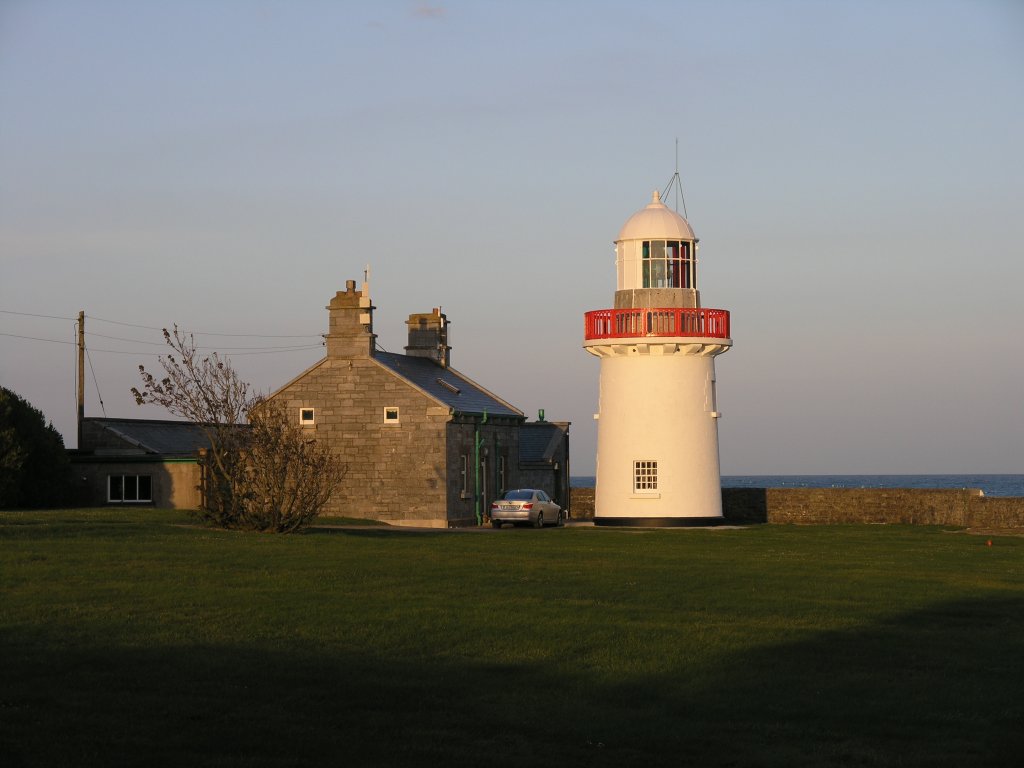 RathknockFairy fort / earthen ringfort · 267 yd
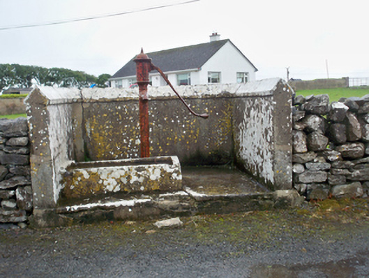 water pumpwater pump · 396 yd
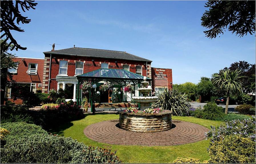 ParkmoreFairy fort / earthen ringfort · 516 yd
 Mary Kate'shouse · 516 yd
 Ballynacourty Court (in ruins)Castle, hall-house · 1028 yd
 CastleCastle, unclassified · 1180 yd
 MweenisharanIslet · 1.2 mi
 Mweenish PointHeadland · 1.5 mi
 Plumbtree FortArchaeological place · 1.5 mi
 Mweenish IslandIslet · 1.9 mi
 Drumacoo Monastic SiteHeritage attraction · 2.0 mi
 Ardfry PointHeadland · 2.9 mi