What is recorded here
Fairy fort / earthen ringfort in Ballymurreen is a fairy fort or earthen ringfort in Ballymurreen, County Tipperary, Ireland. The site sits on a gentle west-facing slope under cultivation. Leveling removed most of the structure, leaving only a curving northern field boundary and a faint southern ditch about 39 metres across. Clearance debris now fills the northern bank, which measures 1 metre wide and 1 metre high.
Situated on a gentle W-facing slope in undulating terrain, under tillage. Depicted as a roughly circular enclosure on both the 1st (1843) and current (1952-3) ed. OS 6-INCH maps. This site has been levelled - a curving field boundary to the N and the suggestion of a fosse to the S (diam. c. 39m) are all that remain. Field clearance material has been dumped against the field boundary bank (Wth 1m; H 1m).
The above description is derived from 'The Archaeological Inventory of County Tipperary. Vol. 1 - North Tipperary' compiled by Jean Farrelly and Caimin O'Brien (Dublin: Stationery Office, 2002). In certain instances the entries have been revised and updated in the light of recent research.
Date of upload/revision: 22 September 2008
The monument record does not grant public access. Check the route and ask the landowner before entering private land.
- What survives
- Recorded monument
Places near here
 Enclosure in BallymurreenEnclosure · 118 yd
 Enclosure in ParkstownEnclosure · 523 yd
 Church (in Ruins)Church · 903 yd
 Ballymoreen CastleCastle · 1123 yd
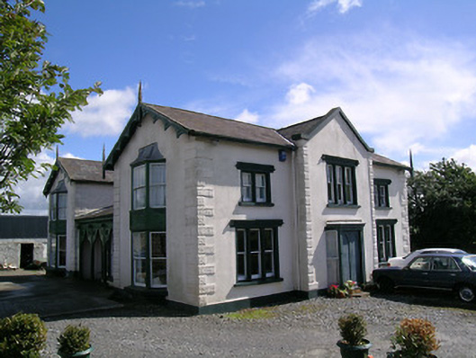 Parkstown Cottagehouse · 1201 yd
 Liskeveen Castle (in ruins)Castle, tower house · 1451 yd
 Gift Horse GalleryGallery · 1.2 mi
 Sweet ChestnutSweet Chestnut · 1.3 mi
 Horse and JockeyVisitor information · 1.3 mi
 European ashEuropean ash · 1.8 mi
 Gobban Saer's GraveArchaeological place · 2.6 mi
 Derrynaflan TrailHeritage attraction · 2.9 mi