What is recorded here
Lisvealnaslee is a fairy fort or earthen ringfort in Ballymoylin, County Tipperary, Ireland. The circular area is about 30 metres across, enclosed by an earth and stone bank 1.5 metres wide, with an external ditch 3 metres wide and 0.7 metres deep. Possible traces of a slight outer bank are visible in places, while dense vegetation prevents detailed examination. A deep sunken laneway to an old farmhouse cuts through the eastern edge on a north-south axis, and no entrance feature is visible.
Situated on a NE-facing slope of rising ground in an upland area. A circular area (diam. 30m approx.) enclosed by an earth and stone bank (Wth 1.5m; int. H 0.5m; ext. H 1.7m) with external fosse (Wth 3m; ext. D 0.7m) and possible traces of a slight outer bank visible in places. Dense vegetation makes detailed examination of the site impossible. A deep sunken laneway to an old farmhouse intersects the site at E on a N-S axis. No entrance feature visible.
The above description is derived from 'The Archaeological Inventory of County Tipperary. Vol. 1 - North Tipperary' compiled by Jean Farrelly and Caimin O'Brien (Dublin: Stationery Office, 2002). In certain instances the entries have been revised and updated in the light of recent research.
Date of upload/revision: 22 September 2008
The monument record does not grant public access. Check the route and ask the landowner before entering private land.
- What survives
- Recorded monument
Places near here
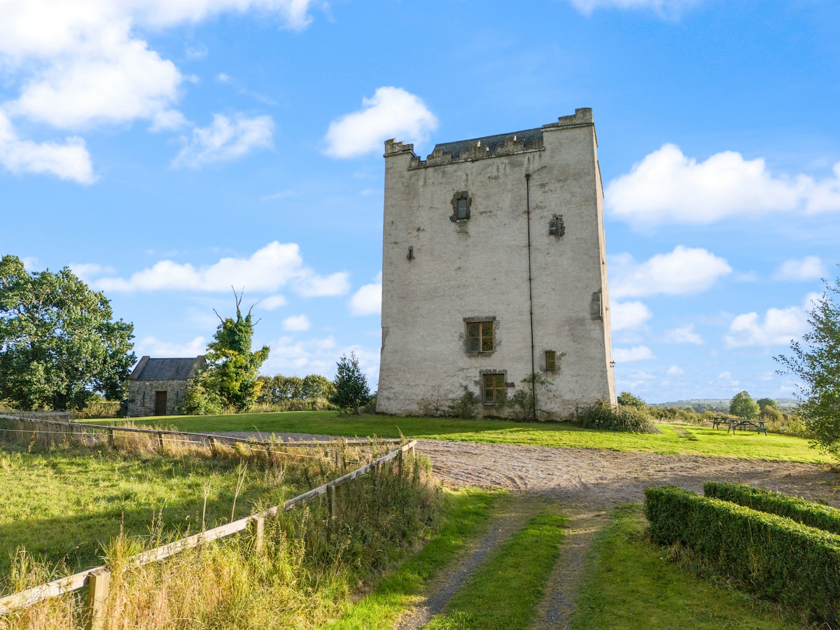 LisdabraherFairy fort / earthen ringfort · 281 yd
 ListeigeFairy fort / earthen ringfort · 333 yd
 CastleCastle, unclassified · 689 yd
 Giant's GraveArchaeological place · 1250 yd
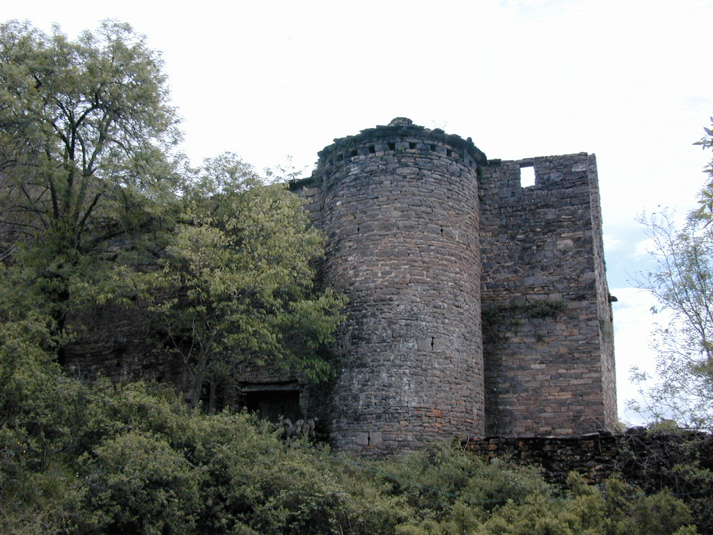 (Site of) Pallas CastleCastle, Anglo-Norman masonry castle · 1597 yd
 Pallas Church (in Ruins)Church · 1.2 mi
 Corbally HillMountain / peak · 1.3 mi
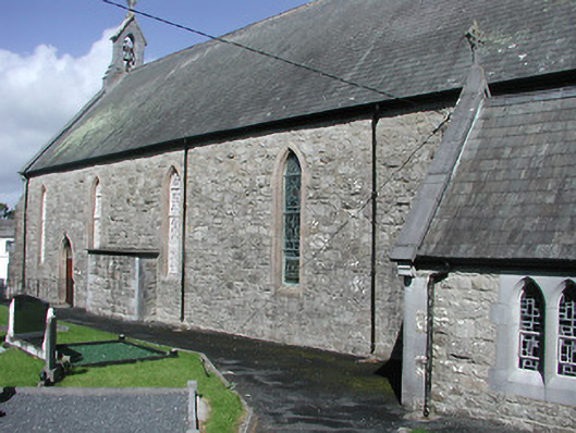 Catholic Church of the Blessed Virgin Marychurch/chapel · 1.4 mi
 Blessed WellNature reserve · 1.9 mi
 Coum HillMountain / peak · 2.0 mi
 Saint Patrick's RockNamed rock · 2.6 mi
 Millenium CrossHeritage attraction · 2.7 mi