What is recorded here
A thirty-five metre earthen ring stood in Ballymorisheen pasture until machinery levelled it around 1980. It appeared on maps from 1842 to 1938, marking a durable human boundary before modern convenience erased it. A slight rise remains, proving the earth remembers what forgetful people remove.
In pasture. Depicted as hachured circular enclosure (diam. c. 35m) on 1842, 1904 and 1938 OS 6-inch maps. According to local information, levelled c. 1980. Slight rise visible in area of site.
The above description is derived from the published 'Archaeological Inventory of County Cork. Volume 3: Mid Cork' (Dublin: Stationery Office, 1997). In certain instances the entries have been revised and updated in the light of recent research.
Date of upload/revision: 14 January 2009
A fairy fort or earthen ringfort in Ballymorisheen, likely dating to the early medieval period, is represented as a circular enclosure with a diameter of about 35 metres, depicted on several 19th- and early 20th-century Ordnance Survey maps. Local tradition associates the site with fairy lore, while its archaeological remains were largely levelled in the late 20th century, leaving only a slight rise as a trace of its former structure.
The monument record does not grant public access. Check the route and ask the landowner before entering private land.
- What survives
- Recorded monument
Places near here
 Enclosure in Ballyvaloon (barretts By.)Enclosure · 429 yd
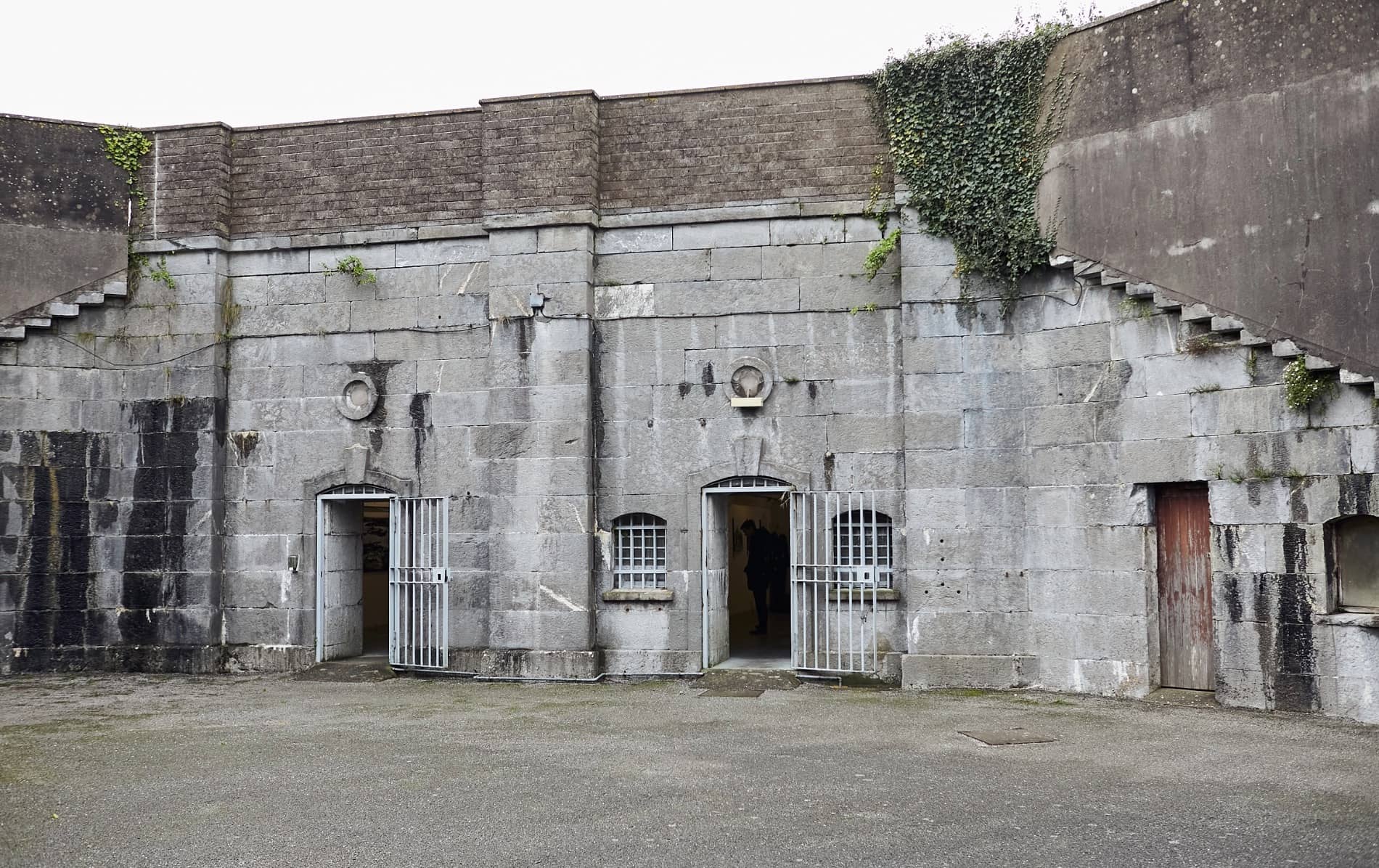 Enclosure in BallymorisheenEnclosure · 728 yd
 farm housefarm house · 1108 yd
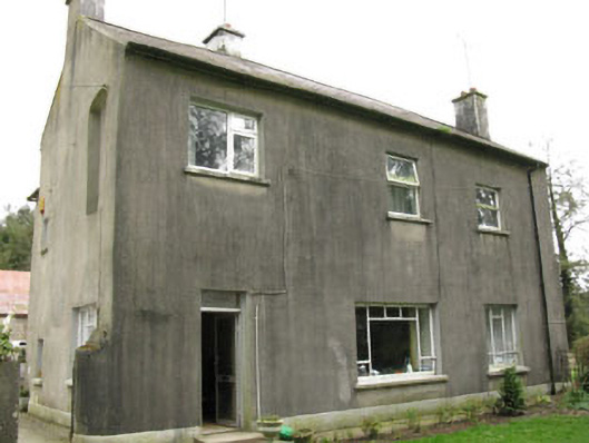 Davis Castlehouse · 1368 yd
 Castle (Site of)Castle, unclassified · 1.7 mi
 Pairc Ath Na hEornaMemorial · 1.8 mi
 Lyradane MountainMountain / peak · 2.3 mi
 Ballyvodane Castle (in Ruins)Castle, unclassified · 2.6 mi
 Rock HillMountain / peak · 2.6 mi
 Graveyard in KilmonaGraveyard · 2.7 mi
 BatsVisitor information · 4.3 mi
 Waterloo Loop WalkWalking route · 4.5 mi