What is recorded here
Graveyard in Ballymoat holds an uncoursed rubble church inside a modern burial ground, with one-third of an older circular enclosure still marking the south and west edge. The surviving bank is three metres wide and one metre high, while the eastern boundary drops away into a steep slope. Early to mid-eighteenth-century headstones rise among later graves, suggesting that people kept returning to this warm southeast-facing place long after its first shape changed.
Situated on a gentle SE-facing slope. A nave and chancel church (WI024-011001-) of uncoursed rubble. The church now lies within a modern graveyard although about one-third of an earlier circular enclosure (WI024-011002-) still survives, defined at the S and W by an earthen bank (Wth 3m; H 1m) and by a steep downhill slope at the E. The N portion has been removed. There are several early to mid-eighteenth-century headstones in the graveyard (WI024-011003-).
The above description is derived from the published 'Archaeological Inventory of County Wicklow' (Dublin: Stationery Office, 1997). In certain instances the entries have been revised and updated in the light of recent research.
Date of upload/revision: 19 October 2012
A medieval church and possible monastic site, dating to the early Christian period (c. 5th–12th century). Its significance lies in the association with an earlier circular enclosure, suggesting a long history of religious or ceremonial use in the area.
This remains an important historical record, but the official description says the monument is no longer visible or has been destroyed. The monument record does not grant public access. Check the route and ask the landowner before entering private land.
- What survives
- No visible remains or recorded as destroyed
Places near here
 Ch. (in Ruins), Grave YardChurch · 7 yd
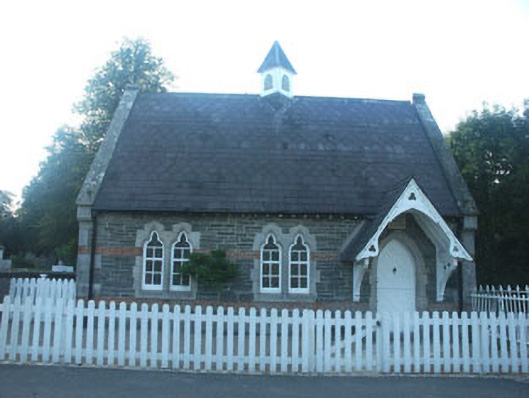 The Old School Houseschool · 111 yd
 (Site of) ChurchChurch · 1558 yd
 IndicatedEnclosure · 1.4 mi
 Carrick MountainMountain / peak · 1.4 mi
 Ballygannon More WoodForest · 2.1 mi
 Sessile OakSessile Oak · 2.1 mi
 CastleCastle, unclassified · 2.5 mi
 BallinastrawMountain / peak · 2.7 mi
 Castle in ruinsCastle, tower house · 3.4 mi
 Workers GreenMemorial · 3.4 mi
 Devil's Glen WaterfallWaterfall · 4.3 mi