
What is recorded here
Situated on a gentle SE-facing slope. A nave and chancel church (dims. 17.2m ENE-WSW; c. 10.6m NNW-SSE) of uncoursed rubble. The walls (T 0.9m) are poorly preserved except for the NE angle which survives to a height of 1.7m and the W gable (H 2.45m) which has a central featureless window opening. There is no indication of a door. The church now lies within a modern graveyard although about one-third of an earlier circular enclosure (WI024-011002-) still survives, defined at the S and W by an earthen bank (Wth 3m; H 1m) and by a steep downhill slope at the E. The N portion has been removed. There are several early to mid-18th-century headstones in the graveyard.
The above description is derived from the published 'Archaeological Inventory of County Wicklow' (Dublin: Stationery Office, 1997). In certain instances the entries have been revised and updated in the light of recent research.
Date of upload/revision: 17 December 2008
A local church or high cross; wider significance not recorded.
This remains an important historical record, but the official description says the monument is no longer visible or has been destroyed. The monument record does not grant public access. Check the route and ask the landowner before entering private land.
- What survives
- No visible remains or recorded as destroyed
Places near here
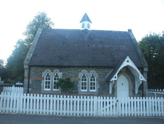 The Old School Houseschool · 110 yd
 Glenealy Churchchurch/chapel · 168 yd
 (Site of) ChurchChurch · 1556 yd
 IndicatedEnclosure · 1.4 mi
 Carrick MountainMountain / peak · 1.4 mi
 Ballygannon More WoodForest · 2.1 mi
 Sessile OakSessile Oak · 2.1 mi
 CastleCastle, unclassified · 2.5 mi
 BallinastrawMountain / peak · 2.7 mi
 Castle in ruinsCastle, tower house · 3.4 mi
 Workers GreenMemorial · 3.4 mi
 Devil's Glen WaterfallWaterfall · 4.3 mi
Other information
Photo: Credit not shown in the picture search · Rights wording not checked; contact us if this picture should be removed