What is recorded here
Indicated is a fairy fort or earthen ringfort in Ballymeeny (armstrong), County Sligo, Ireland. It occupies a small promontory in pasture overlooking the Ballymeeny River to the east. A raised circular area measuring 22m across is enclosed by an earthen bank and external fosse, though the bank was partially removed by small scale quarrying to the west and northwest. The original entrance is no longer recognisable.
Situated on small promontory in pasture, overlooking Ballymeeny River to E. Raised circular area (diam. 22m) enclosed by a bank of earth (Wth 4.3m; int. H 0.35m) with an external fosse (Wth 9.7m; D 0.7m). From NE-SW the bank lies along the top of a natural steep E-facing scarped edge that runs down toward the Ballymeeny River. The bank has been partially removed by small scale quarrying W-NW. The original entrance to the site is not recognisable. The fosse encloses the site SW-N and is absent elsewhere due to the sharp natural drop to the E of the site.
Compiled by: Mark Keegan
Date of upload: 19 January 2011
The monument record does not grant public access. Check the route and ask the landowner before entering private land.
- What survives
- Recorded monument
Places near here
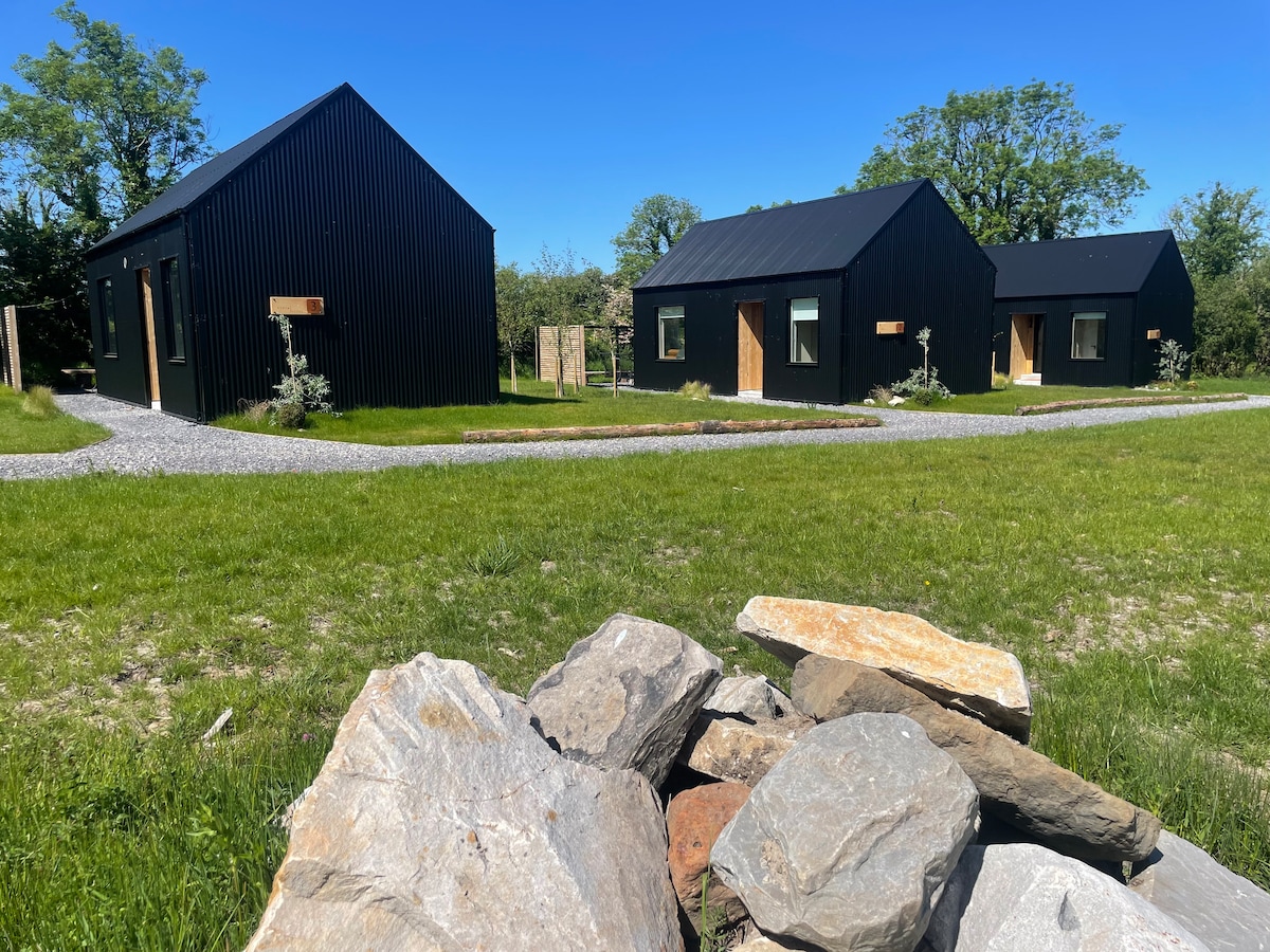 Hut site in Alternan ParkHut site · 181 yd
 Altar in DoonaltanAltar · 334 yd
 Glenburn Househouse · 365 yd
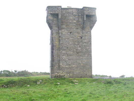 Carrownrush Towersignal tower · 1517 yd
 Split RockNamed rock · 1.2 mi
 CastleCastle, motte · 1.4 mi
 Ballynahowna CastleCastle, tower house · 1.5 mi
 DonaghHeadland · 1.7 mi
 Jim Smith MemorialMemorial · 2.4 mi
 Wild Atlantic Way: Easky PierVisitor information · 2.8 mi
 Eamonn's TopMountain / peak · 7.3 mi
 AnnatoranMountain / peak · 7.9 mi