
What is recorded here
Ten hectares of broken parallel lines still mark the soil at Ballymee, enclosing a ringfort, a rectangular boundary and two circular sites. The fields belonged to somebody bold enough to keep them sharp across generations, perhaps watching the road or feeding a local hierarchy. They vanished from memory but refused to disappear entirely, waiting for drought or a passing camera to reveal the shape of forgotten labour.
Series of fragmented linear cropmarks, some closely spaced and parallel, covering area of c. 10.5ha, visible in aerial photographs (CASAP, July 1989). Ringfort (CO017-07201-), rectangular enclosure (CO017-07202-) and two circular enclosures (CO017-07203-; CO017-133---) are all within system.
The above description is derived from the published 'Archaeological Inventory of County Cork. Volume 4: North Cork' (Dublin: Stationery Office, 2000). In certain instances the entries have been revised and updated in the light of recent research.
Date of upload/revision: 14 January 2009
The monument record does not grant public access. Check the route and ask the landowner before entering private land.
- What survives
- Recorded monument
Places near here
 CastleCastle, unclassified · 457 yd
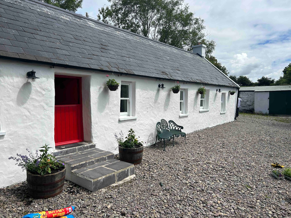 Cahermee HouseCountry house · 460 yd
 Ducks WellHoly well · 588 yd
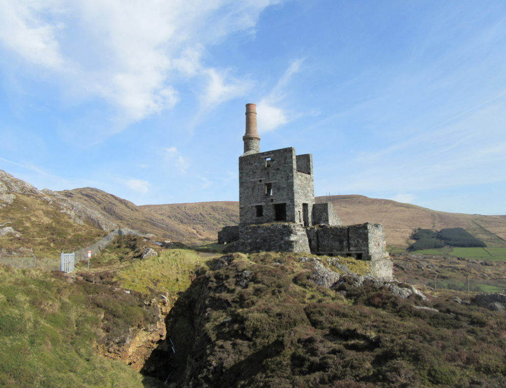 Quarry in CahermeeQuarry · 838 yd
 Enclosure in Knockanare (orrery and Kilmore By.)Enclosure · 1123 yd
 Smith's WellSpring · 1.3 mi
 Doneraile Castle (Site of)Castle, unclassified · 1.6 mi
 Doneraile HouseHeritage attraction · 1.6 mi
 Sweet ChestnutSweet Chestnut · 1.8 mi
 European YewEuropean Yew · 1.8 mi
 Charles BunworthMemorial · 2.1 mi
 David HurleyMemorial · 2.2 mi
Other information
Photo: Credit not shown in the picture search · Rights wording not checked; contact us if this picture should be removed