What is recorded here
Partially hachured is a fairy fort or earthen ringfort in Ballymanus, County Westmeath, Ireland. The site sits on a southeast-facing slope of a steep hillock, with other ringforts located nearby to the north, northwest, and southeast. Present remains consist of a tree-lined curving bank upstanding only from northeast through east to southeast, with slight traces of an external fosse at the east. The monument originally enclosed a small circular area with an earth and stone bank, external fosse, and a causewayed entrance gap two metres wide at the southeast.
Situated on SE facing slope of steep hillock. Ringfort (WM003-017----; WM003-018----) 180m to N, ringfort (WM003-019----) immediately to NW and ringfort (WM003-021----) 50m to SSE. Depicted as a circular shaped ringfort on the 1837 ed. OS 6-inch map and as a partial enclosure on the revised 1911 ed. OS 25-inch map. On this latter map only the arc of the enclosing bank bank is depicted from N-E. Present remains consist of a tree-lined curving bank upstanding only from N-E-SE, slight traces of an external fosse at E only with possible evidence of a causewayed entrance gap (Wth 2m) at SE. Originally the monument consisted of a small circular area enclosed by an earth and stone bank with external fosse and causewayed entrance at SE. The W half of the monument was partially levelled between 1837 and 1911.
Compiled by: Frank Coyne & Caimin O'Brien
Date of upload: 21 December 2016
The monument record does not grant public access. Check the route and ask the landowner before entering private land.
- What survives
- Recorded monument
Places near here
 Partially hachuredFairy fort / earthen ringfort · 268 yd
 Hut site in BallymanusHut site · 585 yd
 Ballycomoyle National Schoolschool · 1349 yd
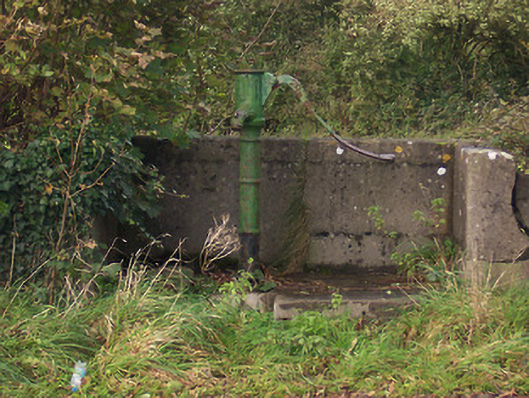 water pumpwater pump · 1587 yd
 Hilltown Castle (in ruins)Castle, tower house · 1636 yd
 Mullaghmeen ForestPicnic place · 1.2 mi
 CastleCastle, unclassified · 1.3 mi
 Mullaghmeen Red WalkWalking route · 1.6 mi
 Mullaghmeen White WalkWalking route · 1.8 mi
 Rock of CurryCliff · 2.3 mi
 European ashEuropean ash · 3.1 mi
 Silver FirSilver Fir · 3.7 mi