
What is recorded here
Indicated is a fairy fort or earthen ringfort in Ballymacurly South, County Roscommon, Ireland. It appears faintly as a subrectangular or D-shaped enclosure on the 1837 Ordnance Survey map, measuring about fifty metres in both directions. The site sits on a gentle west-facing slope near a north-west to south-east stream, though it no longer shows on the house lawn.
Marked faintly as a subrectangular or D-shaped enclosure (dims c. 50m N-S; c. 50m E-W) only on the 1837 ed. of the OS 6-inch map, and situated on a gentle W-facing slope with a NW-SE stream c. 140m distant. It is not visible at ground level on the lawn of a house.
Compiled by: Michael Moore
Date of upload: 24 August 2010
The monument record does not grant public access. Check the route and ask the landowner before entering private land.
- What survives
- Recorded monument
Places near here
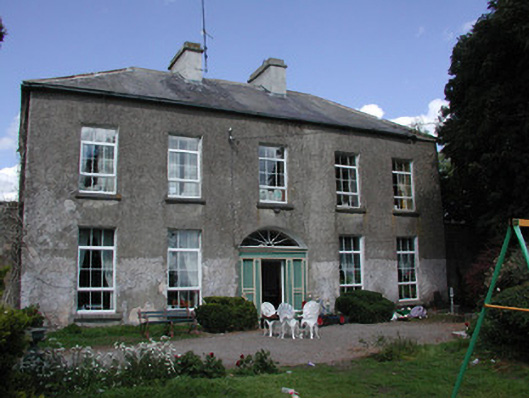 Ballymacurly Househouse · 415 yd
 IndicatedFairy fort / earthen ringfort · 420 yd
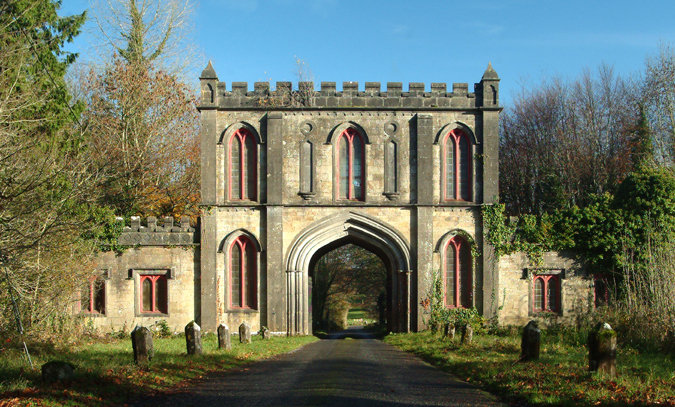 Enclosure in Ardlagheen BegEnclosure · 1062 yd
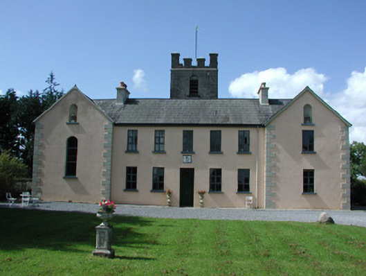 Highlake Housemonastery · 1.3 mi
 HawthornHawthorn · 2.2 mi
 European ashEuropean ash · 5.2 mi
 CastleCastle, Anglo-Norman masonry castle · 5.3 mi
 Leitrim CastleCastle, unclassified · 5.5 mi
 Roscommon CastleCastle · 5.8 mi
 Site of Killomaine Grave YardArchaeological place · 6.7 mi
 Sally IslandIslet · 8.4 mi
 Mount MaryMountain / peak · 9.3 mi
Other information
Photo: Credit not shown in the picture search · Rights wording not checked; contact us if this picture should be removed