What is recorded here
Located in a fairly steep-sided S-N valley with a stream c. 55m to the W. This is a rectangular scrub-covered area (dims. 35m E-W; 23m N-S) defined by an earthen bank (Wth 2-3.7m; int. H 0.5-0.7m; ext. H 1.2-1.4m) on the E side and adjacent parts of the N and S sides. There are flat-bottomed moats (Wth of top 4-5.5m; Wth of base 1.7-3.5m; ext. D 1-1.8m) on each side that are fed from springs just to the E, and a leat leads from the SW angle towards the stream. In the N part of the interior is the remains of a stone-walled building (int. dims. 18m E-W; 4.5m N-S) defined by walls (Wth 1m; H 0.5m) obscured by the spread of cairn material. (Barry 1977, 214, WX 14)
The above description is derived from the published 'Archaeological Inventory of County Wexford' (Dublin: Stationery Office, 1996). In certain instances the entries have been revised and updated in the light of recent research.
Compiled by: Michael Moore
Date of upload/revision: 13 September, 2012
The monument record does not grant public access. Check the route and ask the landowner before entering private land.
- What survives
- Recorded monument
Places near here
 Fulacht fia in Arnestown (bantry By.)Fulacht fia · 509 yd
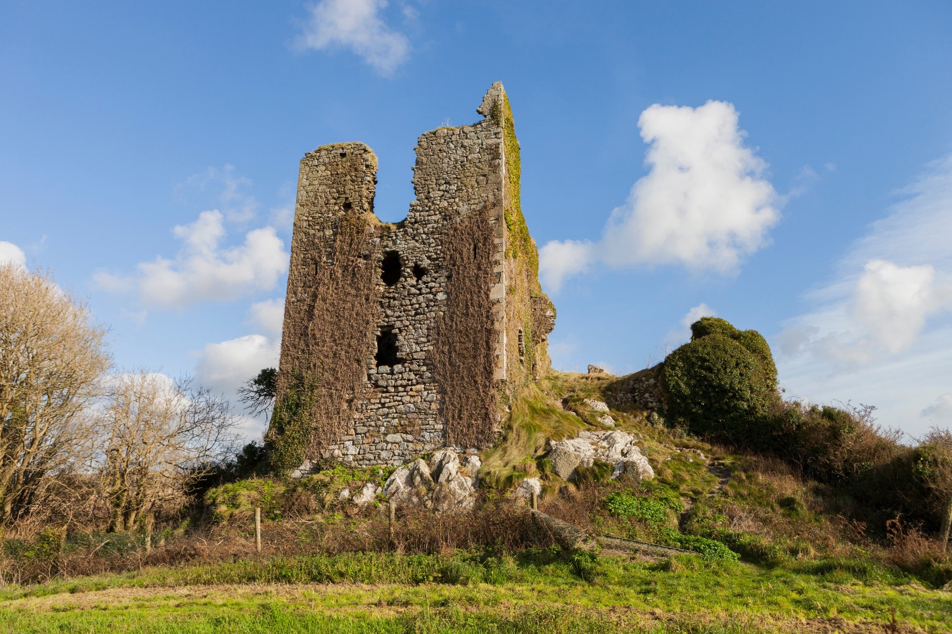 site of CastleCastle, unclassified · 626 yd
 Arnestown Housefarm house · 634 yd
 Embanked enclosureFairy fort / ringfort · 675 yd
 Site of Arnestown CastleCastle, unclassified · 938 yd
 Erin Valefarm house · 1220 yd
 Lacken HillMountain / peak · 1.9 mi
 Crutched FriarsMemorial · 2.0 mi
 Ros Tapestry ExhibitionGallery · 2.1 mi
 O'NeillMemorial · 2.1 mi
 Dunbrody Famine Ship Visitor CentreHeritage attraction · 2.1 mi
 Forest Of The DunbrodyForest · 2.1 mi