
What is recorded here
Giant's Grave in Ballyline West stood as a rectangular megolithic structure beside the Ballyline river, visible enough for surveyors to map it in 1841 before human hands or time erased every stone. The land itself admits the loss, for Grafa means grubbed, suggesting people dug through that place until even memory lost its shape. What the giants owned there may have been a boundary, a burial or a warning, but the earth took it back and the river still flows north-west as if nothing disappeared.
Marked 'Giant's Grave' on the 1841-42 OS map and 'Giant's Grave (Site of)' on the later edition of 1914-15. This appears as a rectangular structure on the earlier map, though no surface trace survives today. The Ballyline river lies E of this site, flowing N-W. It is situated in a subdenomination of the above townland called Grafa (grubbed land).
The above description is derived from C. Toal, ‘North Kerry Archaeological Survey’. Dingle. Brandon in association with FAS Training and Employment Authority (1995), no. 7. In certain instances the entries have been revised and updated in the light of recent research.
Date of upload: 1 August 2013
The monument record does not grant public access. Check the route and ask the landowner before entering private land.
- What survives
- Recorded monument
Places near here
 Meelish FortArchaeological place · 1006 yd
 Coolbeg FortArchaeological place · 1.3 mi
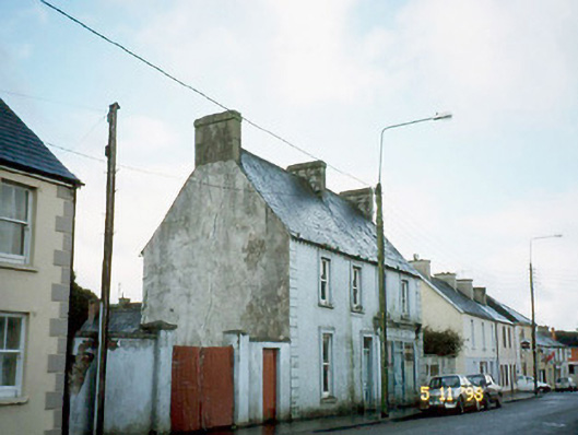 Ó Coileáinhouse · 2.0 mi
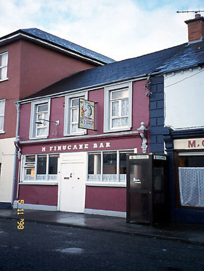 M. Finucanehouse · 2.0 mi
 Siege of Carrigafoyle Castlesiege · 3.7 mi
 CastleCastle, ringwork · 3.7 mi
 Carrigafoyle CastleCastle · 3.7 mi
 Carrig IslandIsland · 4.1 mi
 John B. Keane GroveMemorial · 4.8 mi
 Lartigue MonorailMuseum · 4.8 mi
 Statue of SchillerMemorial · 5.1 mi
 Kerry Writers' MuseumMuseum · 5.1 mi
Other information
Photo: Credit not shown in the picture search · Rights wording not checked; contact us if this picture should be removed