
What is recorded here
Indicated is a possible triangular enclosure in County Cork, Ireland, marked on a 1902 map but now hidden beneath dense gorse, briars and ferns. Local memory calls it a fort, yet the marshy ground and overgrowth deny easy proof. What is certain is that the land still keeps its shape, waiting for someone brave enough to walk through the thorns and ask it what it remembers.
In rough overgrown pasture, in a flat rush-covered marshy area, at the foot of a S-facing slope with restricted views. This possible enclosure is indicated on the 1902 OS 6-inch map as a roughly triangular enclosed area (c. 50m E-W; c. 40m N-S) with a curving SW side (L c. 50m). The area is covered in dense overgrowth of gorse, briars and ferns and could not be accessed. The interior of the possible enclosure appears to rise gradually from the SW side to the NE corner. The nature of this monument is uncertain but there is some local knowledge of it being a 'fort'.
The above description is derived from 'The Archaeological Inventory of County Cork. Volume 5' (Dublin: Stationery Office, 2009).
Date of upload: 22 December 2009
The monument record does not grant public access. Check the route and ask the landowner before entering private land.
- What survives
- Recorded monument
Places near here
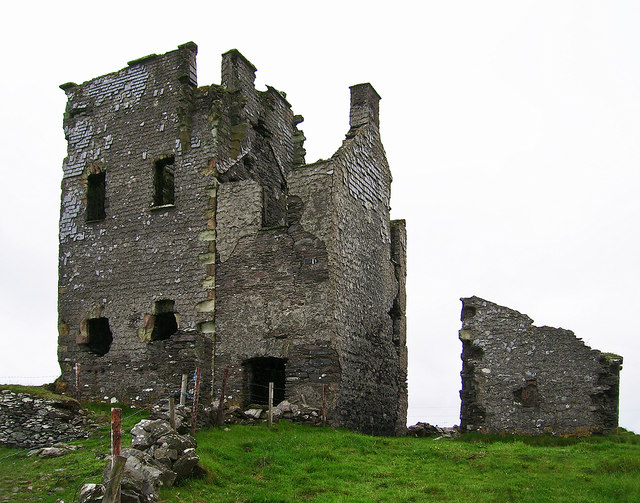 Ballylinchey Signal Towersignal tower · 1035 yd
 Kill Burial Gd (Childrens)Burial ground · 1208 yd
 Man-made underground passage in BaltimoreMan-made underground passage · 1391 yd
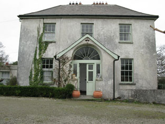 Glebe Houserectory/glebe/vicarage/curate's house · 1476 yd
 Bawn in BallylinchyBawn · 1551 yd
 CastleCastle, unclassified · 1604 yd
 Kedge IslandIslet · 1.2 mi
 Wave Chieftain Whale WatchingHeritage attraction · 1.4 mi
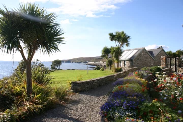 Reenmore IslandIslet · 1.6 mi
 Walk 5 - Lough Hyne (7km)Walking route · 1.9 mi
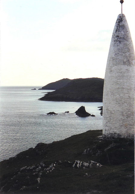 The Beaconbeacon · 2.0 mi
 Beacon PointViewpoint · 2.0 mi
Other information
Photo: Credit not shown in the picture search · Rights wording not checked; contact us if this picture should be removed