What is recorded here
The fairy fort or earthen ringfort in Ballylina West, Uskane is in County Tipperary, Ireland. It occupies a north-east-facing slope of rising ground, enclosing a circular area that measures 23 metres from north to south and 28.5 metres from east to west. An earth and stone bank surrounds this space, standing 1.5 metres wide and reaching between 0.5 and 1.2 metres in height.
Situated on a NE-facing slope of rising ground in undulating countryside. A circular area (diam. 23m N-S; 28.5m E-W) enclosed by an earth and stone bank (Wth 1.5m; int. H 0.5-1m; ext. H 0.7-1.2m) and an external fosse (Wth 2-3m; D 0.3m) with a possible entrance gap (Wth 3.3m) at E. Modern gap in bank at NW where a field fence intersects the site. A modern road intersects the site at S on an E-W axis.
The above description is derived from 'The Archaeological Inventory of County Tipperary. Vol. 1 - North Tipperary' compiled by Jean Farrelly and Caimin O'Brien (Dublin: Stationery Office, 2002). In certain instances the entries have been revised and updated in the light of recent research.
Date of upload/revision: 22 September 2008
The monument record does not grant public access. Check the route and ask the landowner before entering private land.
- What survives
- Recorded monument
Places near here
 Enclosure in DruminureEnclosure · 1136 yd
 Enclosure in SopwellEnclosure · 1226 yd
 CastleCastle, ringwork · 1305 yd
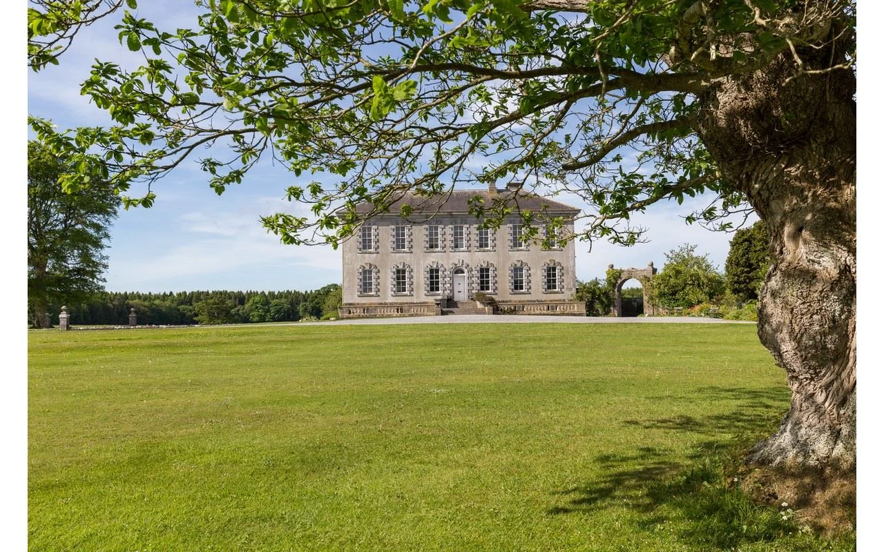
 Coorevin HouseHouse, 18th/19th century · 1462 yd
 Uskane Church (in Ruins), Grave YardChurch · 1634 yd
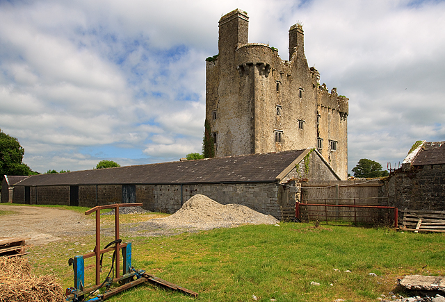 KIllaleigh CastleBawn · 1.1 mi
 Borris WoodWood · 3.0 mi
 Knockanacree WoodForest · 3.7 mi
 MacDonagh HouseMemorial · 4.5 mi
 Thomas MacDonagh Heritage CentreMuseum · 4.6 mi
 Slevoir BayBay · 6.6 mi
 James Devaney MemorialMemorial · 8.2 mi