What is recorded here
Mature beech trees still hold the earthen bank of Ballylin, marking a circular enclosure twenty-seven metres across on a gentle east-facing slope. The site presents two distinct gaps rather than a single door, inviting imagination about whether people, animals, or something else entered the pasture. That much larger opening to the west suggests the fort may have served a busy landscape where movement mattered more than defence.
In wooded area, on gentle E-facing slope. Circular area (26.5m N-S; 26.9m E-W) enclosed by earthen bank and external fosse. Bank highest W->N (int. H 1m; ext. H 1.8m) with gaps at ENE (Wth 5.5m) and WSW (Wth 8.1m). Fosse (D 0.5m; Wth 2.5m) well defined W->N; a field drain connects with it at SE. Some mature beech trees grow on bank and in interior; otherwise level interior is under pasture. Enclosure hemmed in by low earthen field boundaries on E, S and W sides, which define S end of wooded area.
Compiled by: Denis Power
Date of upload: 26 August 2011
The monument record does not grant public access. Check the route and ask the landowner before entering private land.
- What survives
- Recorded monument
Places near here
 Enclosure in Ballylin (shanid By., Ardagh Ed)Enclosure · 392 yd
 Grave YardGraveyard · 535 yd
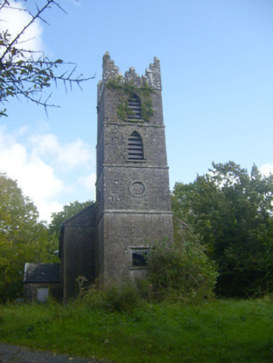 Rathronan Churchchurch/chapel · 553 yd
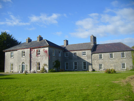 Glenville Housecountry house · 702 yd
 CahermoyleCastle, unclassified · 1.1 mi
 St. Luke's WellSpring · 1.3 mi
 Castle (in ruins)Castle, tower house · 1.7 mi
 St. Kieran's WellSpring · 3.0 mi
 Limerick GreenwayWalking route · 4.3 mi
 European ashEuropean ash · 5.1 mi
 Sugar HillMountain / peak · 6.0 mi
 Monterey CypressMonterey Cypress · 7.8 mi