
What is recorded here
Indicated is a rectangular earthen enclosure in County Cork pasture, still visible after appearing on maps from 1842 to 1942. Its low fence and local name, “fort”, suggest people once drew a boundary around ordinary ground and gave that boundary the weight of defense. The field may have marked household pride, a childhood game, or a forgotten claim to land rather than battle.
In pasture. Depicted as rectangular field on 1842, 1902 and 1942 OS 6-inch maps. Roughly rectangular field (30m E-W; 18m N-S) enclosed by earthen fence (H 1.4m). Known locally as "fort".
The above description is derived from the published 'Archaeological Inventory of County Cork. Volume 3: Mid Cork' (Dublin: Stationery Office, 1997). In certain instances the entries have been revised and updated in the light of recent research.
Date of upload/revision: 14 January 2009
The monument record does not grant public access. Check the route and ask the landowner before entering private land.
- What survives
- Recorded monument
Places near here
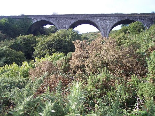 viaductviaduct · 1188 yd
 BarrowBarrow, ring-barrow · 1312 yd
 Garryardhouse · 1619 yd
 Fulacht FianFulacht fia · 1.4 mi
 Bi-Centenary of 1798Memorial · 1.8 mi
 Corbally Montessori & Early Years' Pre-schoolVisitor information · 2.6 mi
 Rumley's Open FarmHeritage attraction · 2.7 mi
 Sunday's WellSpring · 2.9 mi
 Ballyhandle Castle (in Ruins)Castle, Anglo-Norman masonry castle · 3.0 mi
 Charlie Hurley MemorialMemorial · 3.0 mi
 waterfallVisitor information · 3.3 mi
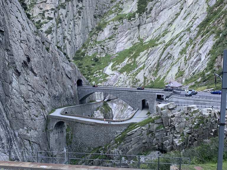 Monument WaterfallMonument · 3.4 mi
Other information
Photo: Credit not shown in the picture search · Rights wording not checked; contact us if this picture should be removed