
What is recorded here
In pasture. Depicted as hachured circular enclosure (diam. c. 18m) on 1842, 1903 and 1940 OS 6-inch maps. Levelled; no visible surface trace. According to Hartnett (1939, 140), consisted of 'an earthen bank, with inner ditch, surrounding a circular (slightly convex) central platform'; overall diameter 85ft.
The above description is derived from the published 'Archaeological Inventory of County Cork. Volume 3: Mid Cork' (Dublin: Stationery Office, 1997). In certain instances the entries have been revised and updated in the light of recent research.
Date of upload/revision: 14 January 2009
A ring-barrow, likely dating to the Early Bronze Age. Its significance lies in its representation on historical maps and as part of the broader funerary landscape of the period.
The monument record does not grant public access. Check the route and ask the landowner before entering private land.
- What survives
- Recorded monument
Places near here
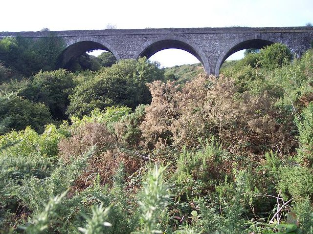 viaductviaduct · 982 yd
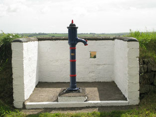 water pumpwater pump · 1306 yd
 IndicatedEnclosure · 1312 yd
 LisnaboulFairy fort / earthen ringfort · 1.2 mi
 Rumley's Open FarmHeritage attraction · 2.0 mi
 Corbally Montessori & Early Years' Pre-schoolVisitor information · 2.3 mi
 Bi-Centenary of 1798Memorial · 2.6 mi
 Sunday's WellSpring · 2.7 mi
 Graveyard in BallynoraGraveyard · 2.8 mi
 Ballyburden Castle (Site of)Castle, unclassified · 3.6 mi
 Ballyhandle Castle (in Ruins)Castle, Anglo-Norman masonry castle · 3.7 mi
 Ballincollig ViewViewpoint · 3.7 mi
Other information
Photo: Credit not shown in the picture search · Rights wording not checked; contact us if this picture should be removed