What is recorded here
Ballyhimock is a ghost farm. It hides beneath the living fields, its straight lines and right angles waiting for drought to reveal them. The land remembers two different hands, one that drew the old squares and one that drew the new. Under the grass, both are still arguing about the shape of the world.
Regular pattern of rectilinear cropmarks, some perpendicular to each other, visible in aerial photograph (CASAP, July 1989). Cropmarks cover area of c. 12ha and indicate relict field system on different axis from present system. One large rectangular field (dims. 125m x 125m) noted. Ringfort (CO026-049---), circular enclosure (CO026-151---) and fulachta fiadh (CO025-050---; CO026-051---) skirt edges of field system.
The above description is derived from the published 'Archaeological Inventory of County Cork. Volume 4: North Cork' (Dublin: Stationery Office, 2000). In certain instances the entries have been revised and updated in the light of recent research.
Date of upload/revision: 14 January 2009
The monument record does not grant public access. Check the route and ask the landowner before entering private land.
- What survives
- Recorded monument
Places near here
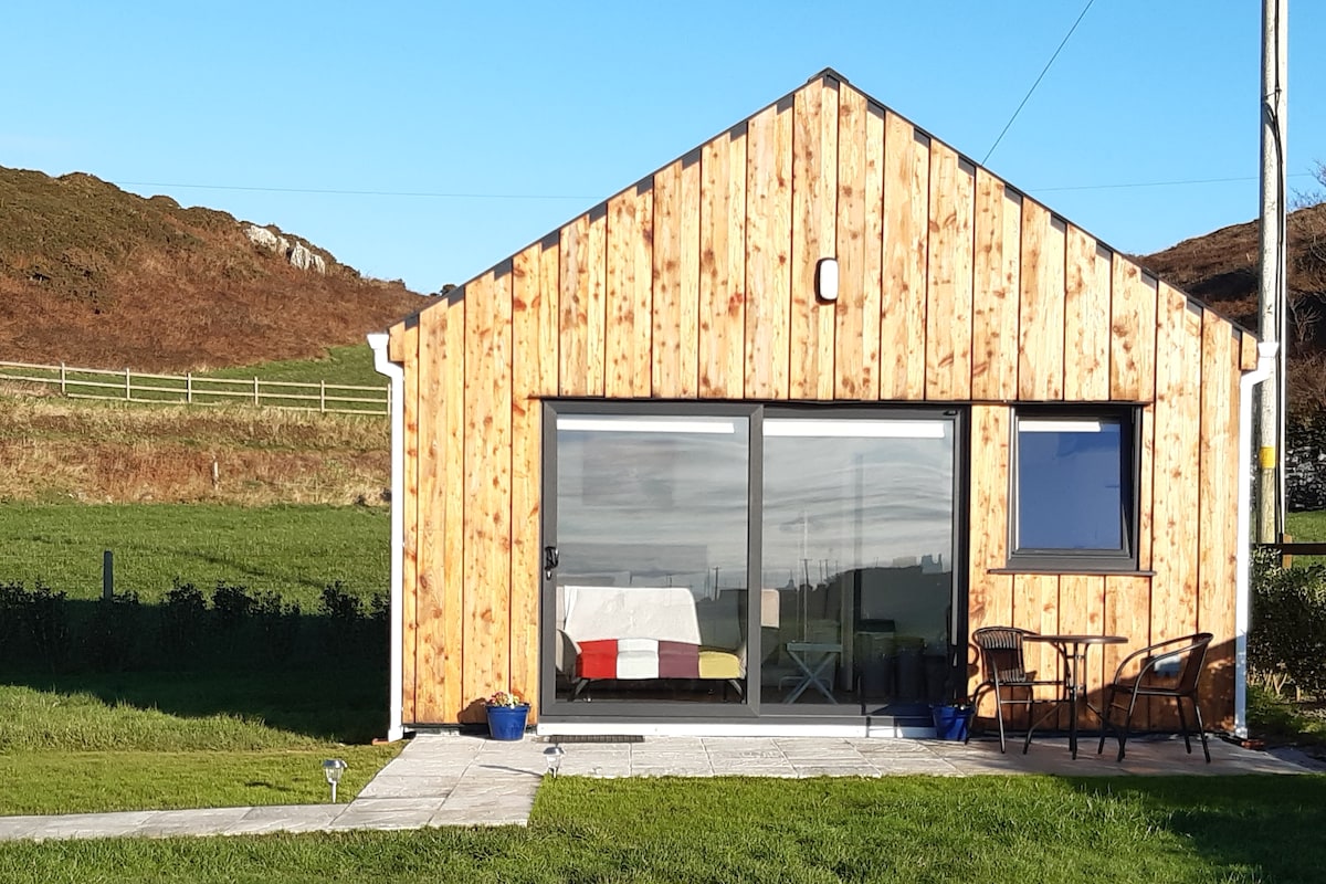 Enclosure in BallyhimockEnclosure · 258 yd
 Field system in BallyhimockField system · 1031 yd
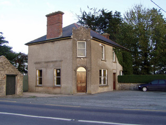 Griffin'shouse · 1447 yd
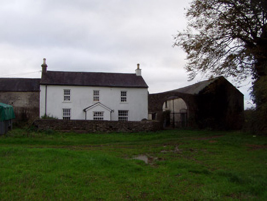 Home Farmfarmyard complex · 1500 yd
 Anne's Grove GardensHeritage attraction · 1.4 mi
 Shanballymore Castle (Site of)Castle, unclassified · 1.4 mi
 Ruane Castle (Site of)Castle, unclassified · 2.2 mi
 Pedunculate OakPedunculate Oak · 3.2 mi
 Scots PineScots Pine · 3.5 mi
 Smith's WellSpring · 4.3 mi
 Flat cemetery in Ballyenahan NorthFlat cemetery · 4.7 mi
 Blackwater (Avondhu) WayWalking route · 5.0 mi