What is recorded here
Ballyherragh field system: low earthen banks, east-west and north-south, beside an enclosure and a nearby rath on a wet south-facing slope, with a sea cliff about 100m to the northwest. Later walls crossed the older lines, yet the shape still emerges through grass and satellite imagery. It may have divided pasture, marked ownership or served the enclosure; perhaps people moved stock along those banks while the cliff wind came in from the sea.
Near the top of a S-facing slope in wet pasture, with a sea cliff c. 100m to the NW. Clearly visible in satellite imagery (Digital Globe 2011-2013), and overlain by later field boundary walls. This field system (c. 190m E-W; 110m E-W) comprises a series of low grass-covered earthen banks, orientated E-W and N-S and abutting the E and S sides of an enclosure (CL014-009----) with which the field system is possibly associated. A nearby rath (CL014-008---) stands c. 12m to the SW of the field system.
Compiled by: Gearóid Conroy and Conn Herriott
Date of upload: 7-10-2025
The monument record does not grant public access. Check the route and ask the landowner before entering private land.
- What survives
- Recorded monument
Places near here
 Promontory fortPromontory fort, coastal · 670 yd
 Kilconnell Children's Burial GroundArchaeological place · 1325 yd
 Sightseeing Cliffs of Moher SouthViewpoint · 1439 yd
 Moher TowerRuins · 1552 yd
 CastleCastle, unclassified · 1.2 mi
 Cliffs of MoherCliff · 2.0 mi
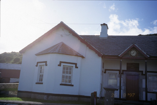 Saint Bridget's National Schoolschool · 2.0 mi
 Bridget's Well;St Bridget's WellSpring · 2.3 mi
 Sea StackMountain / peak · 3.0 mi
 Cliffs of Moher Visitor CentreVisitor information · 3.1 mi
 John P. Holland CentreMuseum · 3.1 mi
 Liscannor Castle (in Ruins)Castle, tower house · 3.1 mi