What is recorded here
Indicated is a circular bivallate rath in County Clare, Ireland, where two earth banks and a narrow ditch still trace a forgotten doorway to the sea cliff. Rain fills the central basin until the inner wall disappears, leaving only the outer ridge to mark the boundary between human memory and fairy claim. The fort has watched the pasture breathe for centuries, waiting for someone foolish enough to enter when the water rises.
In wet pasture with higher ground to the N and a sea cliff c. 100m to the NW. Hachured on both the first (1842) and Cassini (1920) editions of the OS 6-inch map. Listed as ‘Enclosure’ in the RMP (1996). This well-preserved circular bivallate rath (int. diams. 23.5m E-W; 22.4m N-S; ext. diams. 42.3 N-S; 41.3m E-W) is defined by an inner and outer bank with an intervening fosse. The round-topped, steep-sided inner bank (Wth 2.8-4.6m; int. H 0.2-0.35m; ext. H 1-1.15m) has several slabs lying against its inner face at SE, suggesting a stone revetment. There is an entrance gap (Wth 4.1m) at E. The fosse (max. Wth 4.5m; Wth at base 1m) is flat-bottomed and steep-sided (av. D 1m below top of inner bank; D 0.45m below top of outer bank). The lower, outer bank (av. Wth 3.8m; int. H 0.45m over base of fosse; max. ext. H 0.35m) is reduced to a scarp at E. A field system (CL104-009002-) c. 12m to the E runs around the N side of the rath, and an enclosure (CL014-009----) lies c. 76m to the NE.
Compiled by: Gearóid Conroy and Conn Herriott
Date of upload: 3-10-2025
The monument record does not grant public access. Check the route and ask the landowner before entering private land.
- What survives
- Recorded monument
Places near here
 Promontory fortPromontory fort, coastal · 712 yd
 Kilconnell Children's Burial GroundArchaeological place · 1408 yd
 Sightseeing Cliffs of Moher SouthViewpoint · 1481 yd
 Moher TowerRuins · 1593 yd
 CastleCastle, unclassified · 1.2 mi
 Cliffs of MoherCliff · 2.1 mi
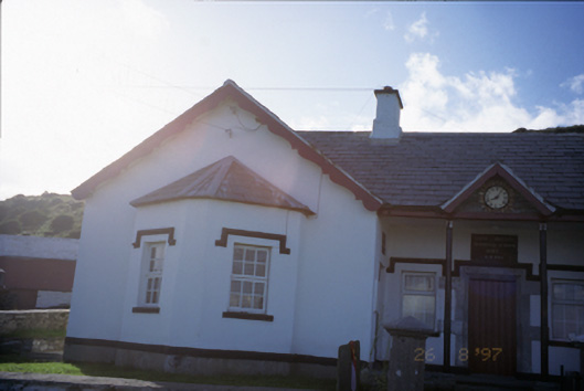 Saint Bridget's National Schoolschool · 2.1 mi
 Bridget's Well;St Bridget's WellSpring · 2.3 mi
 Sea StackMountain / peak · 3.1 mi
 Cliffs of Moher Visitor CentreVisitor information · 3.1 mi
 John P. Holland CentreMuseum · 3.2 mi
 Liscannor Castle (in Ruins)Castle, tower house · 3.2 mi