What is recorded here
Couladeerhy is a rectangular earthen enclosure in County Clare, Ireland, mapping back to 1842 and still visible today beside a field system and ancient rath. It sits on a marshy slope near a sea cliff, holding the shape of human hands across centuries. The land remembers being lived on, even when the name fades from ordinary speech.
Near the local high point of a S-facing slope in marshy pasture with a sea cliff c. 110m to the NW. Hachured and named ‘Couladeerhy’ on both the first (1842) and Cassini (1920) editions of the OS 6-inch map. This subrectangular enclosure (int. dims. L 41m E-W; Wth 21.5m N-S) is defined by an earthen bank (Wth 1-1.75m; av. H 0.2m) which is almost reduced to a scarp on the W side. Outside the enclosure and abutting its enclosing bank from E-S-SW is a field system (CL014-009002-). There is a rath (CL014-008----) c. 76m to the SW.
Compiled by: Gearóid Conroy and Conn Herriott
Date of upload: 3-10-2025
Couladeerhy, Ballyherragh is a subrectangular ringfort, likely dating to the early medieval period, situated on a south-facing slope near a sea cliff. It is associated with local folklore referring to 'fairy forts,' reflecting the belief that such sites were inhabited by supernatural beings.
The monument record does not grant public access. Check the route and ask the landowner before entering private land.
- What survives
- Recorded monument
Places near here
 Promontory fortPromontory fort, coastal · 725 yd
 Kilconnell Children's Burial GroundArchaeological place · 1306 yd
 Sightseeing Cliffs of Moher SouthViewpoint · 1359 yd
 Moher TowerRuins · 1472 yd
 CastleCastle, unclassified · 1.2 mi
 Cliffs of MoherCliff · 2.0 mi
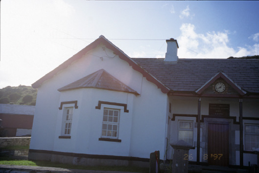 Saint Bridget's National Schoolschool · 2.0 mi
 Bridget's Well;St Bridget's WellSpring · 2.2 mi
 Sea StackMountain / peak · 3.0 mi
 Cliffs of Moher Visitor CentreVisitor information · 3.1 mi
 John P. Holland CentreMuseum · 3.1 mi
 Liscannor Castle (in Ruins)Castle, tower house · 3.1 mi