What is recorded here
Fairy forts like Ballyhahill are misnamed: round forts built by people, not fairy works. A 25 m circle on a gentle slope in County Limerick still shows an earthen bank, shallow outer ditch and a trackway passing close by. The name is local fancy; the shape is human making.
In pasture, on gentle N-facing slope. Circular area (diam. c. 25m) enclosed by earthen bank (int. H 0.35m; ext. H 0.95m) SW->NNE, defined by scarped edge (H 0.85m; Wth 2m) NNE->SE, and enclosed by field boundary SE->SW which curves to respect enclosing element which it probably overlies. External fosse (D 0.2m; Wth 1.5m) NW->SE, truncated on W side by linear field boundary on N-S axis. Interior is completely covered by dense overgrowth. Trackway immediately to S (LI018-111---).
Compiled by: Denis Power
Date of upload: 26 August 2011
The monument record does not grant public access. Check the route and ask the landowner before entering private land.
- What survives
- Recorded monument
Places near here
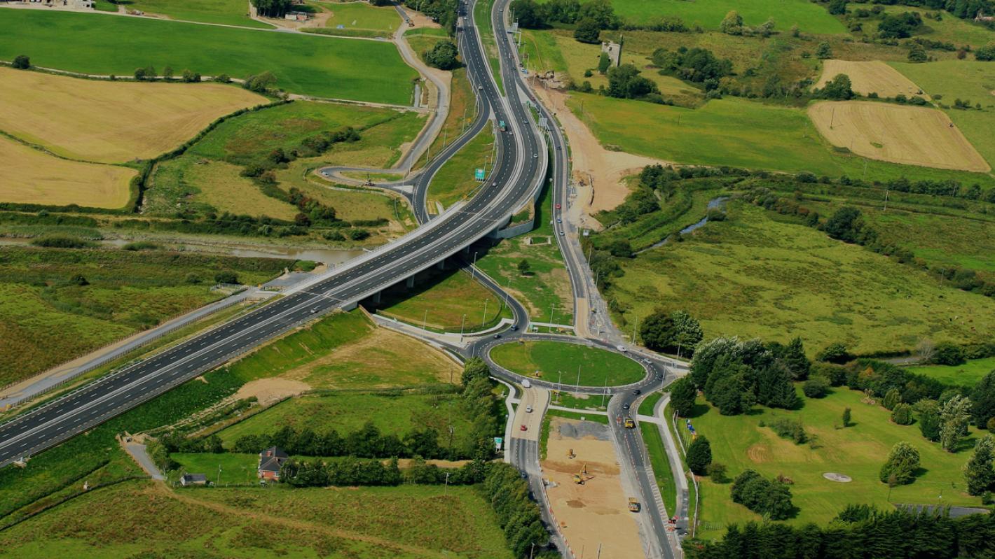 RoadRoad, road/trackway · 52 yd
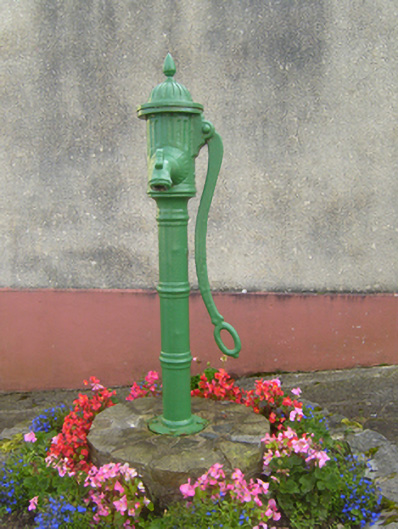 water pumpwater pump · 164 yd
 Cliff-edge fort in MohernaghCliff-edge fort · 283 yd
 Cliff-edge fort in FinnooCliff-edge fort · 976 yd
 TobercloonaghSpring · 1.5 mi
 Prospect HillMountain / peak · 1.9 mi
 Loghill HoCastle, unclassified · 2.7 mi
 Shanid Castle (in ruins)Castle, Anglo-Norman masonry castle · 3.1 mi
 Monterey CypressMonterey Cypress · 3.5 mi
 Mountshannon PointHeadland · 4.3 mi
 Mountshannon WoodWood · 4.4 mi
 Killanna PointHeadland · 4.7 mi